Engagement Archive · North Burma Counteroffensive (incl. Myitkyina)
The defeated soldiers who had crawled out of the Savage Mountains two years earlier changed into U.S. equipment, trained for a year and a half, and fought their way back along the river valleys where their comrades had been buried -- Hukawng, Mogaung, Myitkyina: for the first time, the Chinese Army in India pressed Japanese forces down with firepower. Revenge starting from a place of burial became a textbook case.
Engagement Data
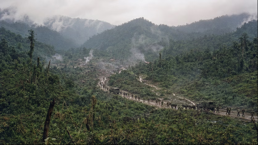
| Item | Content |
|---|---|
| Part of | Fourteen-Year War of Resistance · Yunnan–Burma Theater (for the overall picture, see *Yunnan–Burma Theater · Overview*) |
| Time | 1943.10 (beginning of the Hukawng Valley campaign) – 1944.8.3 (recapture of Myitkyina); later fighting through Mogaung–Bhamo–Namhkam to the 1945.1 junction (closed in the overview) |
| Location | North Burma: Hukawng Valley (Shingbwiyang–Yupang–Maingkwan) — Mogaung Valley — Myitkyina |
| Attacking side | Chinese Army in India (New First Army: New 38th Division, New 22nd Division; later New Sixth Army and others; overall commander Stilwell, army commander Zheng Dongguo) + U.S. Merrill's Marauders + Kachin guerrillas |
| Defending side | Mainly the Japanese 18th Division (Tanaka Shinichi -- a veteran division from the Nanjing and Singapore campaigns), later reinforced by part of the 56th Division |
| Result | The gateways of northern Burma were all taken, and Myitkyina airfield and city were captured -- the Hump route could be shifted south into a safer corridor, and the precondition for opening the China-India Road was fulfilled |
Belligerents
| Item | Chinese Army in India | Japanese Forces |
|---|---|---|
| Equipment | Fully U.S.-equipped: each division had its artillery, vehicles, and engineers complete, with airdrop supply and air support available on call -- the first time a Chinese army "had everything" | The 18th Division was a veteran formation of many campaigns, but its supply line ran across vast distances and it had completely lost air superiority |
| Training | A year and a half at Ramgarh: shooting, jungle warfare, and combined-arms coordination retrained according to U.S. manuals | Rich experience in jungle warfare |
| Manpower | Replacement troops were airlifted directly to India (one stroke for the distinctive manpower line of "flying over the Hump to become a soldier") | Replacements were exhausted |
Terrain and Conditions
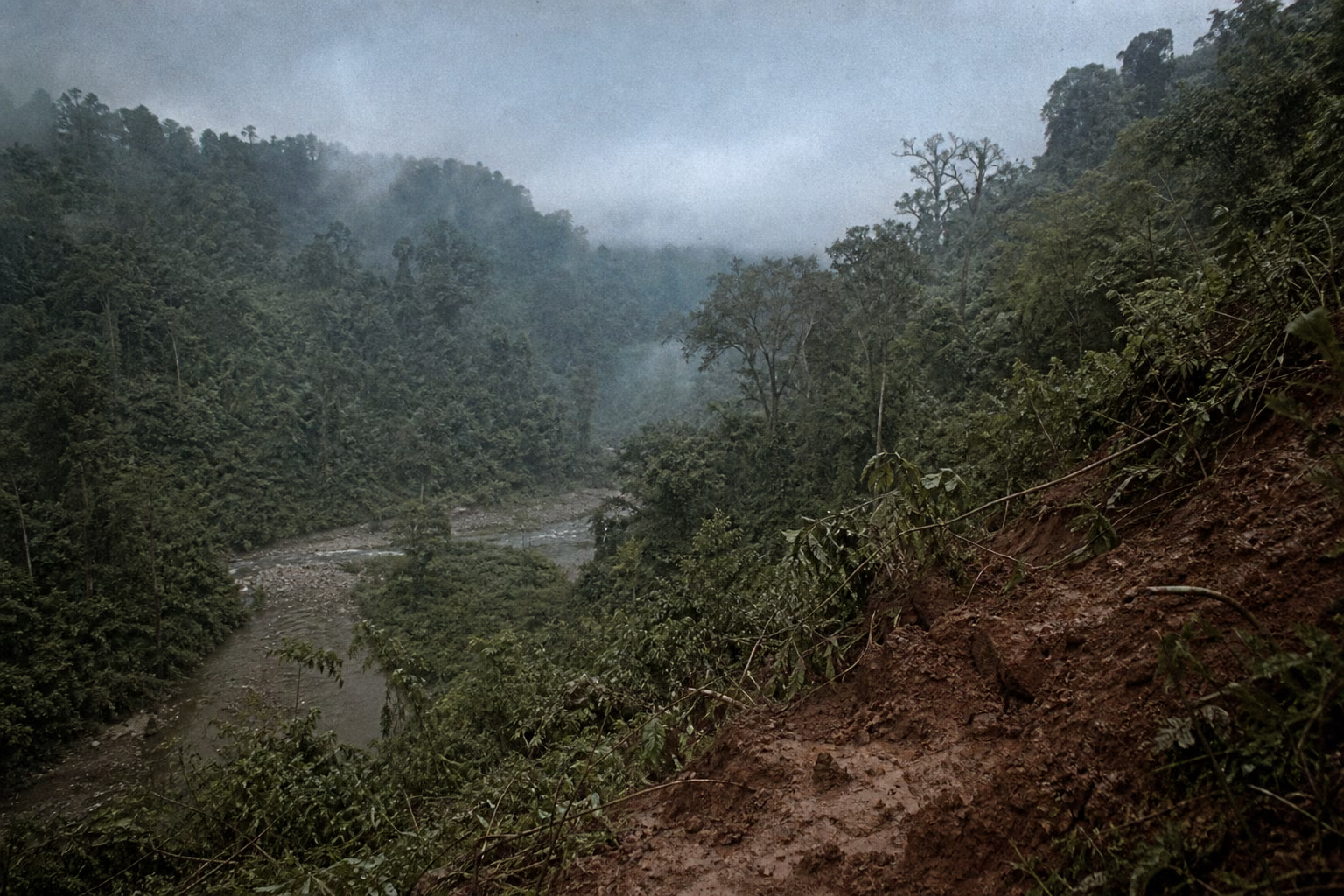
The same Savage Mountains: the death rain forest of 1942 became the counteroffensive corridor of 1943 -- the spatial structure of revenge is this article's ground tone. The rhythm of the rainy season did not change, but this time there were airdrops, engineers, and penicillin. The environment had not changed; the system had. The same green hell showed two faces to two armies built on different systems.
Why It Was Fought
Shipai had held the gate to the Three Gorges, and the frontal battlefield returned to stalemate; in the second half of 1943, the Chinese army's most active line was not inside China, but in India.
By that autumn, the training at Ramgarh had lasted more than a year. The defeated soldiers who had crawled out of the Savage Mountains two years earlier, together with replacement troops airlifted over the Hump, had retrained there in shooting, jungle warfare, and combined-arms coordination according to U.S. manuals, and were fully U.S.-equipped -- the first time a Chinese army "had everything." Once trained, this force had only one direction in which it could be used: to reconnect the overland route for foreign aid, the China-India Road had to be built; to connect that road from India to the Yunnan-Burma Road, northern Burma had to be cleared first -- the Hukawng Valley, the Mogaung Valley, and Myitkyina had to be taken section by section before the road could be built section by section.
The idea of opening this road had been argued over at the Allied table for more than a year. In January 1943, the Casablanca Conference proposed the "Anakim" plan to retake all of Burma; afterward, at Washington, Quebec, and other conferences, the plan kept shrinking, while Britain's commitment to an amphibious landing in the Bay of Bengal remained ambiguous (details of the plan's evolution unverified). Chongqing's condition was consistent: the counteroffensive had to attack from north and south, and British forces had to make a move at sea; Stilwell, by contrast, strongly argued that the Chinese Army in India should not wait for the British, but should strike eastward from India first to cover construction of the Ledo Road -- the road had already begun, and road building and combat became cause and effect for each other. By that autumn, Chongqing agreed that the Chinese Army in India could move first (the timing of the agreement and the exchanged cables are unverified); that step was possible also because Hump tonnage had risen by then, allowing men to "fly over the Hump to become soldiers" and enter India by air.
And where was the Hukawng Valley? It was the Savage Mountains. The death rain forest that had buried tens of thousands in 1942 was precisely the only counteroffensive corridor on the map -- the way they had retreated in defeat was the way they now had to fight back. Many men in the New 38th Division and New 22nd Division had crawled out from here two years earlier; orders and private grievance pointed in the same direction.
Facing them in the valley was the Japanese 18th Division, an old veteran division that had fought at Nanjing and Singapore. In its experience, rain forest, rainy season, and narrow defiles would block any offensive for it -- that was how it had won in 1942. What it had not calculated was that the system had changed: the army entering the valley this time had airdrops, engineers, and penicillin, and its firepower in turn pressed the Japanese down. After the fighting at Yupang, Japanese war history for the first time acknowledged the Chinese army's firepower superiority (its record unverified).
Before entering the valley, Allied intelligence underestimated Japanese strength inside it (assessment records unverified). The Japanese forces' real boundary lay elsewhere: the Burma Area Army had its strength spread in three directions -- western Yunnan, northern Burma, and Imphal, then taking shape. After the Imphal operation began in March 1944, the area army's baggage train and mobile strength were pressed toward India, and from then on northern Burma could only endure with the forces already present (the step-by-step details of reinforcement remain unverified).
Stilwell wanted more than a road: he wanted to prove his creed in battle -- that Chinese soldiers, once properly trained, were inferior to no one. In October 1943, just after the rains ended, the forward elements of the Chinese Army in India crossed the border and entered the Hukawng Valley. The first stretch of the road they fought back along was the very stretch they had once crawled out of.
Course of the Engagement
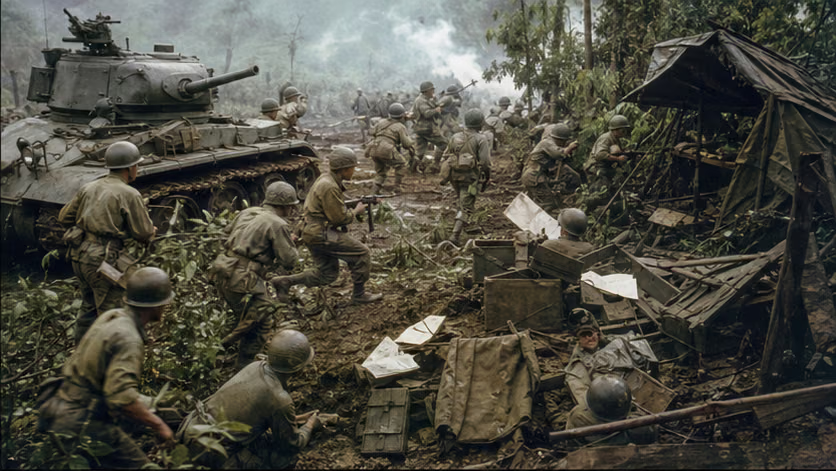
| Phase | Time | Key Points |
|---|---|---|
| Hukawng Valley | 1943.10–1944.3 | Battle of Yupang (December, first victory of the New 38th Division -- Japanese war history first acknowledged the Chinese army's firepower superiority, its record unverified); Taipha Ga, Maingkwan, and Walawbum (on 3.4, tank troops made a surprise attack on the 18th Division headquarters and captured its official seals -- one stroke for the armored force's first achievement), taking the points one by one |
| Mogaung Valley | 1944.4–6 | Sakan Road, Kamaing, and Mogaung were taken in succession; the 112th Regiment of the New 38th Division made a penetration behind enemy lines to cut the grain route (Battle of Seton unverified) -- attack and defense had changed shape: now it was the Chinese army enveloping Japanese forces |
| Myitkyina surprise attack | 1944.5.17 | A Sino-American composite strike force (Merrill's Marauders + regiments from the New 30th Division and the 50th Division) secretly crossed the Kumon Range and seized Myitkyina West Airfield in a surprise attack -- transport planes landed the same day (the "Merchant of Venice" code signal unverified) |
| Myitkyina assault | 1944.5.18–8.3 | Urban assault dragged into a two-and-a-half-month seesaw (rainy season, tunnels, house by house); the Japanese garrison (Major General Mizukami Genzo) was exhausted, and on 8.1 Mizukami ordered the remnants to break out and then killed himself beside the river (details of his "independent decision" to take responsibility remain unverified); on 8.3 the whole city was recovered -- the longest hard fight in northern Burma |
Casualties and Losses
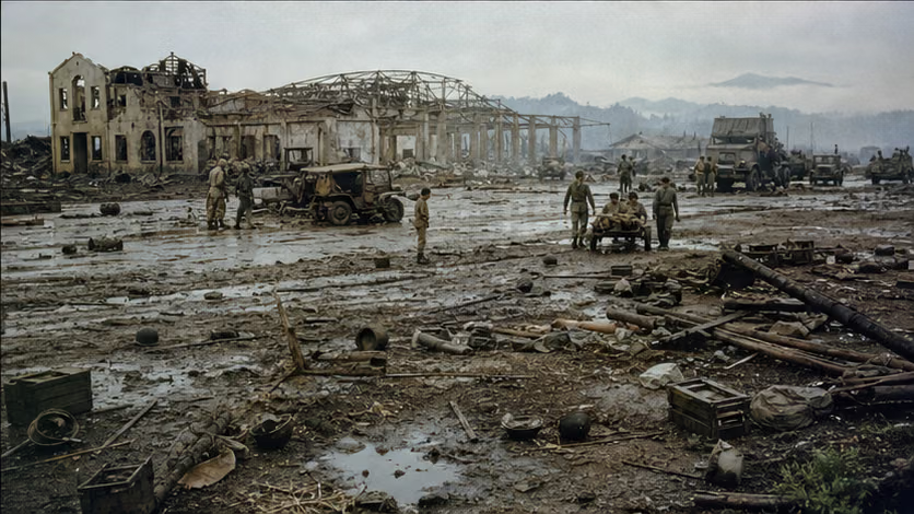
- Chinese Army in India: total casualties in the northern Burma campaign were about 18,000 (statistical bases vary by account across phases), and the Myitkyina assault alone caused more than six thousand casualties (the combined Chinese-U.S. statistical basis varies by account).
- Japanese forces: the 18th Division was nearly wrecked, and cumulative casualties in northern Burma exceeded twenty thousand (statistical bases vary by account); the Myitkyina garrison was almost annihilated (another case in the "gyokusai" sequence, with the Japanese term retained).
- Civilians: local people in the urban fighting at Myitkyina and the seesaw struggle in the Kachin region (one line within the reach of available sources, stated plainly).
Aftermath
- The Hump route gained a safer southern corridor, and the northern Burma segment of the China-India Road was opened -- in 1945.1 it joined the western Yunnan forces at Mong Yu (closed in the overview).
- The "myth of the Chinese Army in India" took shape: the claim that Chinese troops, if properly equipped and trained, could be world-class now had empirical proof -- three years later, this proof changed contexts in the northeastern civil war (the next stop of the New First Army and New Sixth Army, a thread running through multiple articles; cross-reference *Chinese Civil War · Overview*).
- Stilwell was recalled two months after Myitkyina was recovered (cross-reference the Battle of Henan–Hunan–Guangxi crisis and the rupture between Chiang and Stilwell) -- the highest point of his military career and his political end came almost in the same month.
Accounts of Those Present
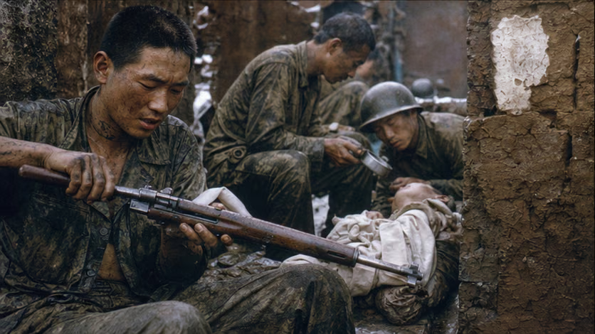
- Veterans on the road back: soldiers of the New 38th Division recognized the remains of comrades from two years earlier in the Hukawng Valley (recollection material, source level unverified) -- "counterattacking along white bones" is this article's heaviest personal vantage point.
- Mizukami Genzo's tree: the Myitkyina commander ordered his subordinates to break out and then killed himself while leaning against a tree beside the Irrawaddy River (Japanese record layer) -- he bore responsibility alone for "abandoning the position against orders": a sample of the opposing camp's "ethic of responsibility," cross-referenced against the Chinese sequence of "executed generals."
- The seals at Walawbum: a tank raid knocked out the 18th Division headquarters and captured its battle flag and official seals (details of captured objects unrecorded) -- the "old opponent from the Nanjing period" had its headquarters struck down, a loop of cause and effect (the 18th Division was one of the forces that attacked Nanjing; sequence unverified).
- Penicillin and mosquito nets: the same rain forest, but this time there was medicine -- the two-way comparison of malaria mortality (data unrecorded) is the most direct footnote to the word "system."
The Ground
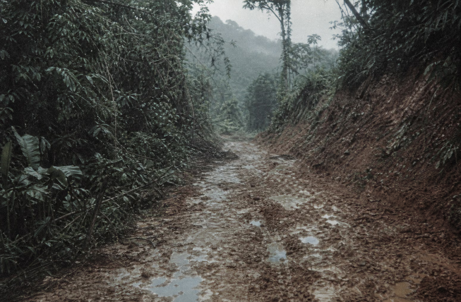
- Section-by-section advance through the river-valley corridor: the rhythm of "taking points in defiles" along the Yupang–Maingkwan–Mogaung line; penetration and airborne landing broke the linear pattern.
- Myitkyina's double structure: airfield surprise attack (quick decision) + urban assault (quagmire) -- two senses of time within one battle.
- Air corridor: airdrop zones and air-landing fields as lifeline nodes -- supply determined whether the counteroffensive could continue.
- "The same map of revenge": the 1942 retreat line overlapped the 1944 counteroffensive line -- the same space showed the faces of retreat and counteroffensive within two years.
How Each Side Records It
- Chinese side: the core battle in the Chinese Army in India narrative; Taiwan canon and mainland writing that arrived late (the lag in memory cross-references the overview).
- Japanese side: the 18th Division's war history records its destruction in detail; the assessment that "the Chinese army had changed" (original text unverified) -- progress acknowledged by the opponent is the hardest proof of progress.
- American side: Stilwell documents and Merrill's Marauders accounts (passages giving very high assessments of Chinese troops remain unverified); Myitkyina is a representative case of Sino-American combined operations.
Disputes and Sensitivities
- Command review of the slow Myitkyina assault (disorder from U.S. command rotation and intelligence misjudgment -- Chinese and American self-criticisms are placed side by side, still unverified).
- The projection of the strategic dispute between Stilwell's use of troops and Chiang's strategy onto this engagement.
- Casualty statistical bases differ.
Sources and Open Questions
Sources: *A Documentary Account of the Chinese Army in India's Operations in Northern Burma* (bibliographic details unverified); materials by Zheng Dongguo and Sun Liren; Japanese *Irrawaddy Campaign* and *Army Operations of the Burma Area*; the Stilwell papers; history of Merrill's Marauders.
Open questions: casualty statistical bases for each battle; original Japanese text on "firepower superiority" at Yupang; details of the Walawbum captures; details concerning Mizukami Genzo; the 18th Division's Nanjing sequence; comparison data for malaria; the "Anakim" plan and its evolution across Allied conferences; the timing and exchanged cables by which Chongqing agreed that the Chinese Army in India could move first; Allied intelligence assessment records on Japanese strength in the valley; step-by-step details of reinforcement to northern Burma during the Imphal operation.
All images on this site are AI-generated depictions. They are not historical photographs, not primary sources, and do not depict any real individual.