War Overview · Sino-Indian War (1962)
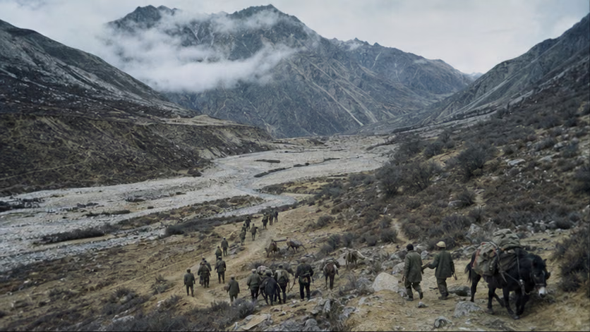
Across more than three thousand kilometers of Himalayan frontier that had never been formally delimited, thirty-three days of fighting broke out in late autumn 1962: in two phases, Chinese border troops broke two Indian divisional groupings, then unilaterally ceased fire and voluntarily withdrew twenty kilometers to their own side of the 1959 line of actual control. The victor withdrew first, a rare pattern in military history. India inscribed "1962" into national memory, and the boundary question has remained unresolved to this day.
Engagement Data
| Item | Details |
|---|---|
| Time | 1962.10.20 counterattack began – 11.21 China announced a ceasefire across the entire front from midnight the following day; withdrawal was completed around 1963.3.1 (dates vary by account) |
| Place | Eastern sector: Kejielang River valley, Tawang, Xishankou–Bomdila line, Walong (toward Zayu); western sector: Galwan Valley, Hongshantou, Pangong Lake shoreline, Pangongluo area; no fighting in the middle sector |
| Belligerents | Chinese border troops: Tibet Military Region forward command (Zhang Guohua), Xinjiang Military Region Kangxiwar command post (He Jiachan, post unclear), under direct General Staff Department control / Indian Army: Eastern-sector Fourth Corps (Lieutenant General Kaul, newly formed on 10.4), western-sector 114th Brigade and other units (subordination unclear) |
| Result | Indian deployments on the eastern and western fronts were routed; China unilaterally ceased fire, withdrew to within 20 kilometers of its own side of the 1959.11.7 line of actual control, returned captured materiel, and released all prisoners of war; the boundary question was not resolved and returned to the starting point where negotiations had failed |
Belligerents (War Level)
| Item | Chinese border troops | Indian Army |
|---|---|---|
| Strength | Roughly three to four divisional-level units committed in succession (frontline troop figures vary by account), concentrated in the theater to create a local advantage of several times the opposing force | At the outbreak, roughly one divisional grouping opposite the eastern sector and outpost groups in the western sector, with rapid reinforcement during the war (figures vary by account) |
| Firepower | No heavy artillery on the mountains: mountain guns, recoilless rifles, and mortars broken down for pack transport; infantry had just converted to the Type 56 family of small arms (the claim of superior individual firepower comes from Chinese military histories, unverified) | Mainly Lee-Enfield bolt-action rifles, with brigade-support weapons; high-altitude outposts had low ammunition basic loads and incomplete winter clothing (recorded in Indian military histories, unverified) |
| Air | Neither side used combat aviation; after the war India debated for years "why the air force was not used" (unverified) | Same as left; transport aircraft maintained forward outposts by airdrop, with heavy losses |
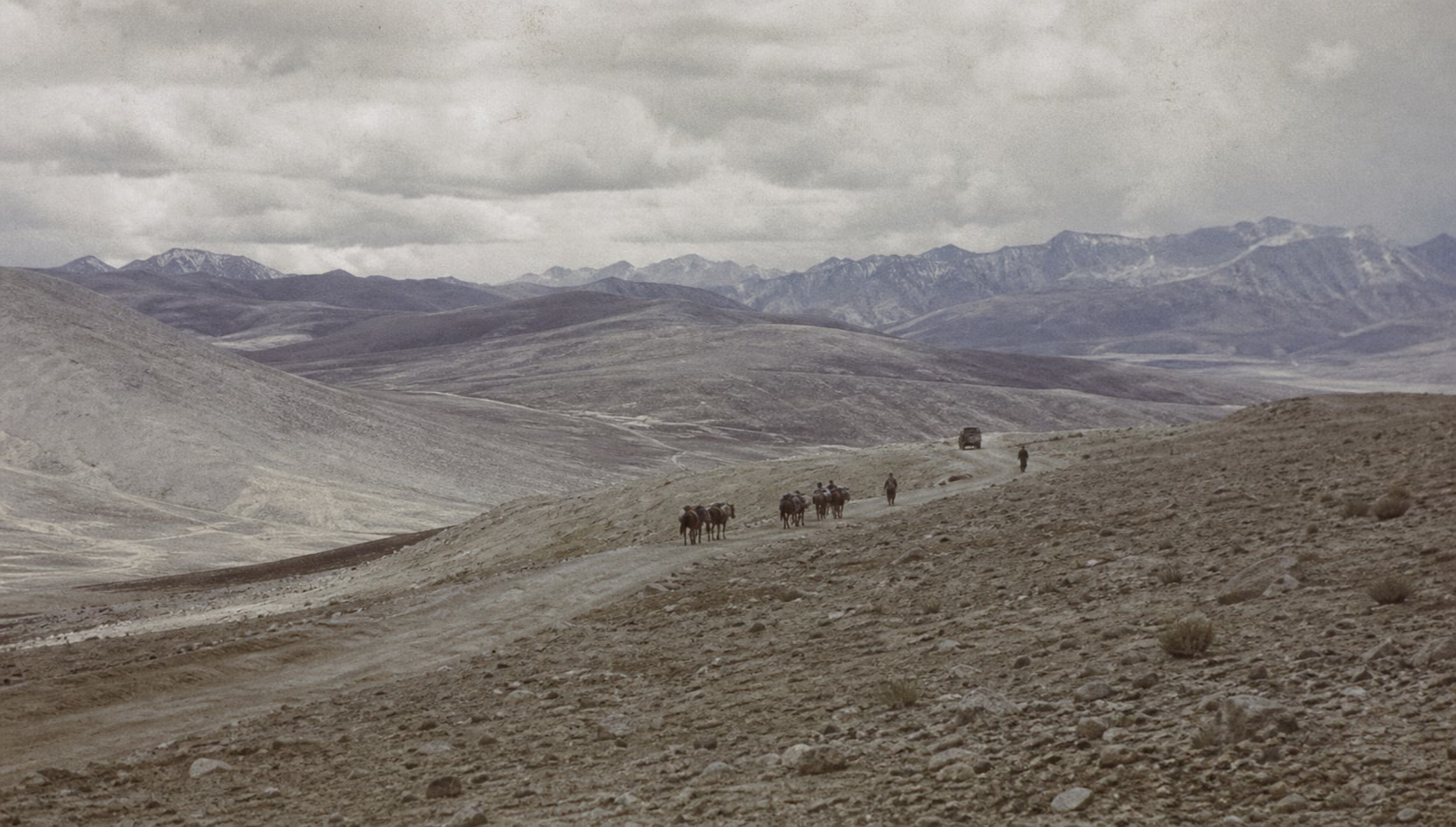
| Supply | Long-distance transport over the Sichuan-Tibet, Qinghai-Tibet, and Xinjiang-Tibet highways plus short-haul porterage and pack animals, with Tibetan civilian labor supporting the front (figure disputed); in the eastern sector, after crossing the Himalayan passes, there was no road supply south of the McMahon Line -- the supply radius determined both the way this war was fought and where it ended | Mountain logistics likewise depended on airdrop and mule transport; dependence on roads became a fatal weakness in the second phase |
Strategic Context
World: In the same week the counterattack began, the U.S.-Soviet confrontation in the Caribbean reached its peak: the Cuban Missile Crisis (10.16–28) overlapped almost day by day with the first phase of combat, leaving the two superpowers little attention to spare. On the eve of the public Sino-Soviet split, the Soviet Union briefly leaned toward China, then returned to aiding India once the crisis passed (the timing of the resumption of the MiG-21 deal is unverified). The United States and Britain airlifted emergency military aid to India during the war, opening a new phase in U.S.-Indian military relations.
China: The Three Years of Difficulty had just passed its lowest point, and the national economy was under adjustment. After the 1959 suppression of the Tibetan rebellion, the military-political system had taken firm hold on the plateau, and the Xinjiang-Tibet Highway (opened to traffic in 1957) became the lifeline of the western sector. In the Taiwan Strait, the "shell on odd days, not on even days" standoff had hardened into place, and the center of combat readiness was quietly shifting westward.
India: Nehru's non-aligned prestige was near its peak, while Third World leadership and a hard line toward China had twisted together in domestic politics. Since 1959, parliament and the press had turned the boundary question into a nationalist issue, and "weakness toward China" was the charge the Congress government feared most. Intelligence and senior military-political leaders judged that China would not truly strike back (Mullick assessment, unverified).
Why It Was Fought
By 1959, the gunfire in the Taiwan Strait had become a tacit arrangement: after the 1958 bombardment, the Kinmen front shifted into "shell on odd days, not on even days," a line of fire that no longer moved (see Kinmen Artillery Battles). The line that truly began to move lay in the southwest -- the more than three-thousand-kilometer boundary between China and India, which had never been delimited by any treaty jointly signed and recognized by the two states.
The eastern-sector dispute was a legacy of the British. At the 1914 Simla Conference, British Indian foreign secretary McMahon and a Tibetan local representative, by an exchange of notes, drew a line along the mountain crests and placed roughly ninety thousand square kilometers traditionally administered by local Tibetan authorities on the British Indian side. Successive Chinese governments never recognized this "McMahon Line." The western sector centered on Aksai Chin: this plateau linking Xinjiang and Tibet had long been under Chinese control, and in 1957 the Xinjiang-Tibet Highway opened through it. India, relying on another survey line from the British Indian period, claimed it as part of Ladakh, learned of the completed road from newspapers, and lodged a protest.
1959 was the turning point. In March, the Lhasa rebellion was suppressed, the Dalai Lama fled to India and received asylum, and the era of "Indians and Chinese are brothers" cooled rapidly. In August at Longju and in October at Kongka Pass, shots were fired in succession, with casualties on each side. Zhou Enlai proposed that both sides withdraw twenty kilometers from the line of actual control and hold prime-ministerial talks; in April 1960 he went personally to New Delhi. The talks produced no result. Nehru's position was that the boundary was already settled and there was nothing to negotiate. India then adopted the "Forward Policy": it set up positions to the rear and in the gaps beside Chinese posts in disputed areas, advancing its claims by fait accompli. By the summer of 1962, in the western sector alone, more than forty new positions had been established (Indian figures vary by account); the two sides' outposts interlocked like teeth, with muzzles facing one another.
Beijing's initial response was "armed coexistence": hold firm, but do not fire the first shot. At the time, the country was still in the period of difficulty, and what the southwest needed was stability, not war. But in June, Indian troops established the Dhola Post in the Kejielang River valley below the Thag La Ridge in the eastern sector, which Chinese interpretation held had crossed even the mapped course of the McMahon Line itself (the difference between the two countries' readings is unverified). On September 20, shots were fired at Zerao Bridge; on October 12, Nehru publicly announced that he had ordered the army to "clear" Chinese forces (wording and translation vary, unverified). In mid-October, the central leadership resolved to fight a war: the objective was not land, but to drive back the "Forward Policy" and secure long-term stability on the frontier (the saying "fight one war to win ten years" comes from later memoir material, unverified). At dawn on October 20, counterattacks began simultaneously in the eastern and western sectors.
In fact, another road had always been on the table: mutual accommodation in the two sectors -- accepting the status quo in the east, recognizing the status quo in the west. During the 1960 New Delhi talks it had taken vague shape, but it did not go through. The only road left was the one in the mountains.
Course of the Engagement (Two Phases)
| Phase | Time | Key Points | Related Article |
|---|---|---|---|
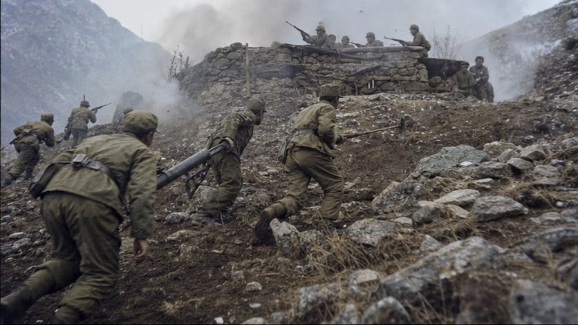
| First phase | 10.20–28 | Eastern sector: counterattack in the Kejielang River valley, with the Indian Seventh Brigade destroyed and Brigadier Dalvi captured; on 10.24–25 Tawang fell without a fight. Western sector: Indian positions in the Galwan Valley, Hongshantou, and along the Pangong Lake shoreline were removed. On 10.24 the Chinese government proposed three measures -- stopping the conflict, reopening negotiations, and both sides withdrawing 20 kilometers; India refused, making restoration of the situation before 9.8 a precondition | Battles of Kejielang and Tawang |
| Second phase | 11.16–21 | Eastern sector: the Indian Eleventh Brigade was routed in the Walong direction; the Indian Fourth Division collapsed along the Xishankou–Shenggezong–Bomdila line, and the vanguard approached the traditional customary line. Western sector: positions in the Pangongluo area were cleared (the Battle of Rezang La fell within this phase). On 11.21 China announced a ceasefire across the entire front | Battles of Xishankou and Walong |
| Ceasefire and withdrawal | 11.22–1963.3 | Unilateral withdrawal to within 20 kilometers of China's own side of the 1959.11.7 line of actual control, with civil-administration checkpoints established; captured weapons and equipment were registered and returned, and more than 3,900 prisoners of war were all released by 1963.5 (details unverified) | — |
Casualties and Losses
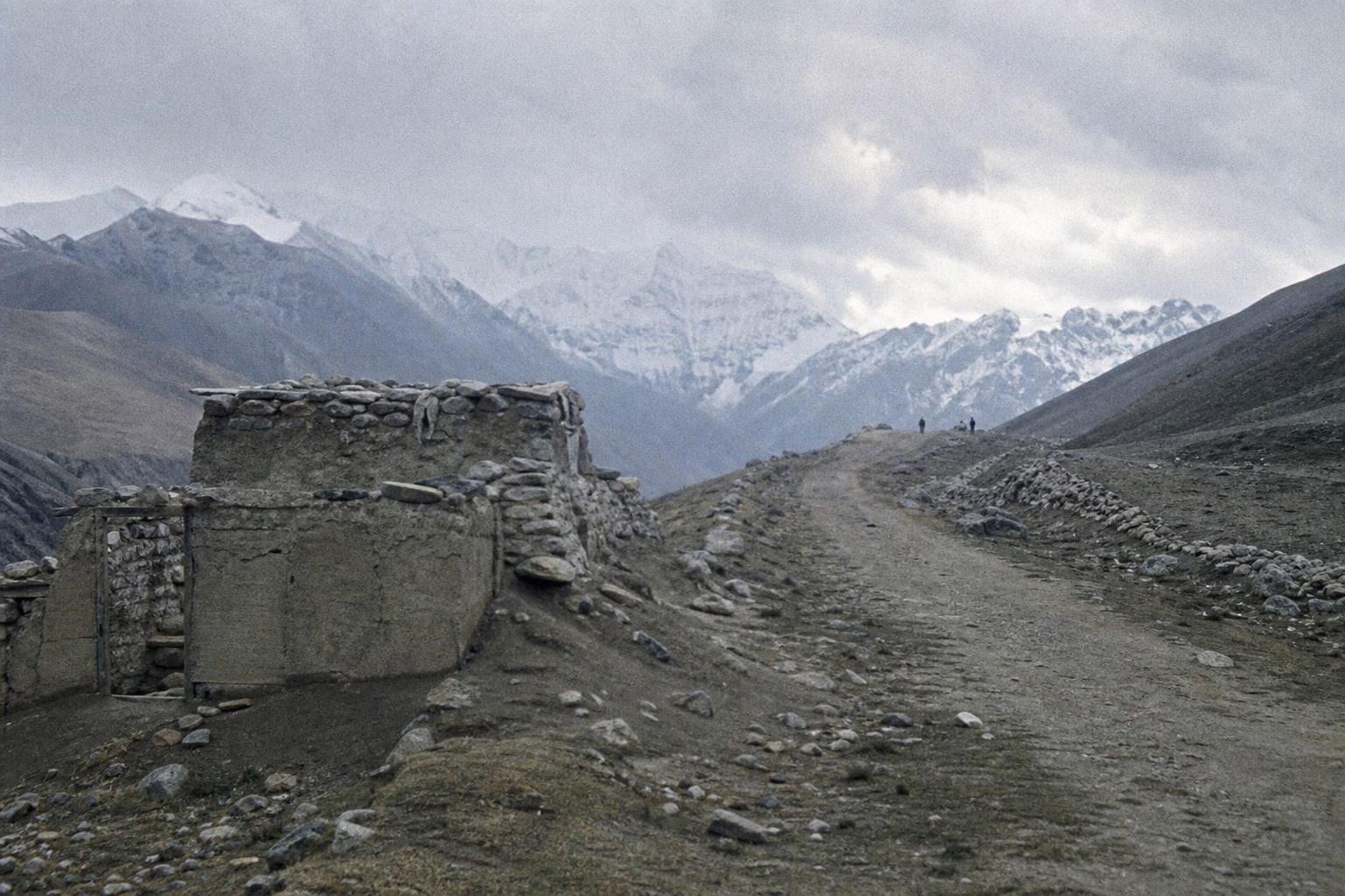
- Chinese side: 722 killed and 1,697 wounded (Chinese military-history figures, unverified).
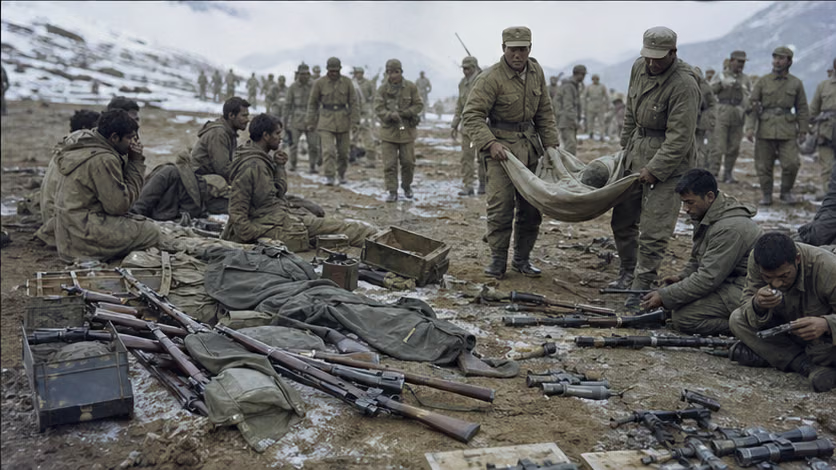
- Indian side: Indian Ministry of Defence figures list 1,383 killed, 1,696 missing, 3,968 captured, and 1,047 wounded (unverified); Chinese battle reports claimed more than 8,900 Indian troops eliminated (about 4,900 killed and about 3,900 captured) -- a large discrepancy with the Indian "killed + missing" basis, reflecting different statistical boundaries.
- Prisoners of war: Indian prisoners included Brigadier Dalvi, and all were released and repatriated; the Chinese side stated that none of its own personnel were captured (Chinese figures, unverified).
- Civilians: The war zone was vast and sparsely populated, with few records of direct civilian casualties (unverified); the panic evacuation of the Assam plains after Bomdila fell is covered in the related article.
Aftermath
- The victor withdrew first: The ceasefire and withdrawal-line arrangement persisted for many years, and the southwestern frontier gained a long period of relative quiet; but the boundary question itself returned to its starting point, with later tense moments including 1967 (Nathu La, Cho La) and 1987 (Sumdorong Chu).
- India: Nehru's prestige suffered a severe blow, and he died in 1964; Defence Minister Menon left office (late 1962.10–early 11, unverified); the army turned toward large-scale mountain expansion; the Henderson Brooks-Bhagat Report remains classified to this day (partially leaked in 2014, unverified). "1962" has since become the ground tone of India's understanding of China.
- China: Soviet aid to India deepened the Sino-Soviet rupture by another layer; in 1963.3 the Sino-Pakistan Boundary Agreement was signed, rearranging the South Asian pattern; heroic lineages from the participating units (the Yang Ting'an squad, Pang Guoxing, and others) entered military history.
- Tawang and areas south of the McMahon Line: after China's withdrawal, India returned; its administrative status later changed several times (a centrally administered territory was established in 1972, and statehood followed in 1987); the two sides maintain their respective sovereignty positions.
- Colombo Six mediation (from 1962.12) attempted to arrange the ceasefire, but boundary negotiations failed to restart (process unverified).
How Each Side Records It
- Indian side: a memory on the scale of national trauma. Battles such as Rezang La are commemorated every year, and the film *Haqeeqat* (1964) and the song "Ae Mere Watan Ke Logon" (first sung in 1963.1, with Nehru reportedly weeping on the spot, details unverified) formed memory devices for an entire generation. Dalvi's *Himalayan Blunder* and Maxwell's *India's China War* offered two books and two forms of reflection. The narrative frame of "brothers turned betrayal" continues to the present.
- Chinese side: officially called the "Self-Defensive Counterattack on the China-India Border"; commemorated more quietly than other wars, in line with the political posture of voluntary withdrawal. The slogan "fear neither hardship nor death" came from this war and spread throughout the army.
- Scholarship: Maxwell's school, relying on the leaked Henderson Report, attributes the war to the Forward Policy; mainstream Indian historiography long adhered to a "Chinese aggression" frame and has become more diverse in recent years (unverified). The two sides' military histories differ sharply both in figures and characterization; this article sets them side by side.
Disputes and Sensitivities
- The McMahon Line and the names "Zangnan / Arunachal" -- each side uses its own formulation.
- Several explanations for "why the victor withdrew" stand side by side: the logistics-limit view (no road supply could last through the mountain-closure season), the political-objective-achieved view (punishment and a negotiating posture were the point), the winter mountain-closure view (the time window had closed), and interpretations including avoidance of a protracted war and an effort to win Asian-African opinion -- each rests on its own evidence and basis.
- War responsibility is narrated in opposition by the two countries: the Indian mainstream calls it "Chinese aggression," revisionists attribute it to the Forward Policy, and the Chinese side calls it a self-defensive counterattack -- set side by side.
- Casualty and battlefield-result figures differ greatly between the two sets of records.
- The present state of the line of actual control and current confrontation points are not addressed -- a deliberate discipline of leaving the present situation blank.
Contents
The two phases of fighting in the western sector are assigned respectively to Battles of Kejielang and Tawang and Battles of Xishankou and Walong, rather than forming separate articles.
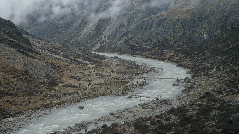 Battles of Kejielang and Tawang1962.10The first battle of the counterattack lasted only one day: in the Kejielang River valley, the Indian Seventh Brigade, strung out in a single line along the river, collapsed under a dawn offensive; two days later, Brigadier Dalvi was captured in the mountain woods, and five days later Chinese troops entered the empty town of Tawang without firing a shot.
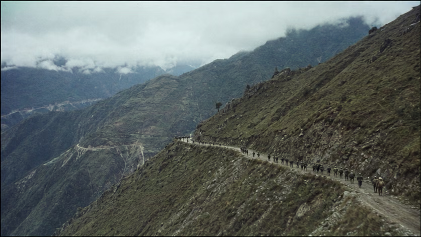 Battles of Xishankou and Walong1962.11The second battle after the ceasefire proposal was refused was over in five days: in the Walong direction, the Indian Eleventh Brigade collapsed first; along the Xishankou–Bomdila line, the Indian Fourth Division, a formation that had made its name in North Africa, disintegrated as an organized command within three days; on November 21, with its spearheads already in sight of the Assam plains, the Chinese government announced a ceasefire across the entire front and a voluntary withdrawal.
Sources and Open Questions
Sources: *History of the Self-Defensive Counterattack on the China-India Border* (Military Science Press, 1994); Dalvi, *Himalayan Blunder*; Maxwell, *India's China War*; India's official military history (1992 internal edition, unverified); relevant chapters of Wu Lengxi's *Ten Years of Polemics*; leaked portions of the Henderson Brooks Report.
Open questions: the two sides' various figures for participating strength and casualties, and their statistical boundaries; date of completion of the withdrawal; number of Forward Policy positions (the claim of more than forty); text of the Mullick assessment; source of the phrase "fight one war to win ten years"; full text of the three proposals and India's reply; the two countries' readings of the mapped course of Dhola Post and the McMahon Line; the shift in Soviet attitude and the MiG-21 timeline; the list of U.S. and British military aid; the timing of Menon's departure; the declassification status of the Henderson Report; the course of the Colombo mediation; details of returned weapons and released prisoners; the Chinese claim that "not one person was captured."
All images on this site are AI-generated depictions. They are not historical photographs, not primary sources, and do not depict any real individual.