War Overview · Paracel and Spratly Islands (1974–88)
Two naval battles, fourteen years apart, each with less than an hour of gunfire: in 1974 at Yongle Atoll in the Paracel Islands, four small Chinese naval craft met the South Vietnamese fleet head-on and pushed it back, completing Chinese control of the Paracels; in 1988 at Chigua Reef in the Spratly Islands, the protective cordon for an ocean observation station came into armed contact with post-unification Vietnam on the reef flat, and China gained its first foothold in the Spratlys. The sea route that now ran outward followed the path once taken in 1946 by the Taiping, Zhongye, and the others.
Engagement Data
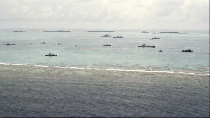
| Item | Content |
|---|---|
| Time | 1974.1.19–20 (Paracels); 1988.3.14 (Spratlys) -- the two engagements were fourteen years apart |
| Place | Yongle Atoll, Paracel Islands; the Jiuzhang Reefs area of the Spratly Islands (Chigua Reef, Guihan Reef, Qiong Reef) and the line around Yongshu Reef |
| Belligerents | Chinese People's Liberation Army Navy / 1974: South Vietnamese (Republic of Vietnam) Navy; 1988: Vietnamese (post-unification) Navy |
| Result | In 1974, China recovered Ganquan, Shanhu, and Jinyin islands and gained full control of the Paracels; in 1988, two Vietnamese vessels were sunk and one damaged, and the Chinese side entered and held six reefs in the Spratlys |
Belligerents (War Level)
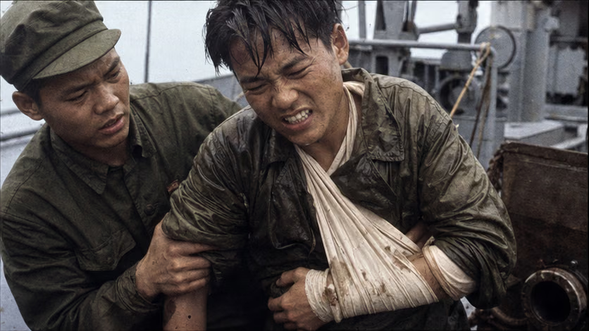
| Item | 1974 Paracels | 1988 Spratlys |
|---|---|---|
| Chinese side | Six vessels in all, submarine chasers and minesweepers; four engaged, totaling roughly 1,700 tons, with the largest naval gun 85 mm (details unrecorded) | Three frigates, equipped with 100 mm naval guns and rapid-fire guns |
| Vietnamese side | Four U.S.-built South Vietnamese warships, totaling roughly 6,000 tons, with the largest naval gun 127 mm (details unrecorded) | Two transport vessels and one landing ship, with guns below 40 mm and small arms (details unrecorded) |
| Where the asymmetry lay | The Chinese side fought small against large, offsetting the difference in gun caliber by closing to short range | The firepower balance reversed into an absolute Chinese advantage; on the reef itself, however, it was wading infantry face to face |
Historical Setting
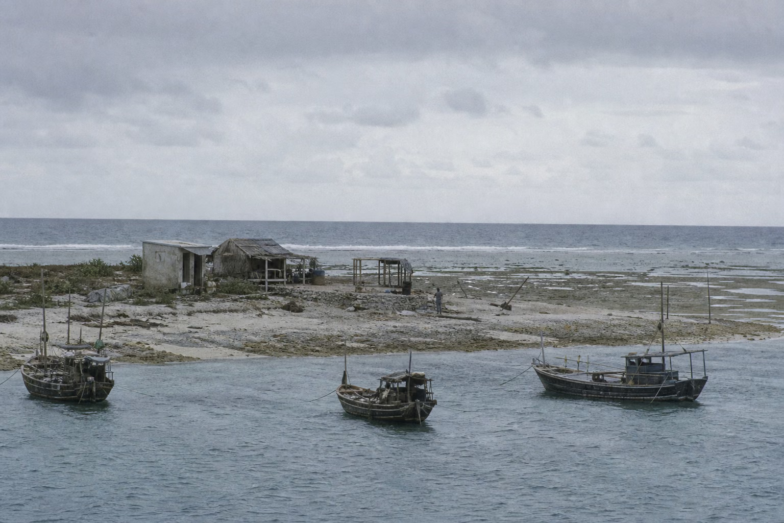
World: 1974 -- Sino-U.S. rapprochement had already taken shape (Nixon's 1972 visit to China), U.S. forces had withdrawn from Vietnam (1973 Paris Peace Accords), and the Seventh Fleet no longer acted on Saigon's behalf. Survey reports by the United Nations Economic Commission for Asia and the Far East in 1968–69 stated that the seabed of the South China Sea might hold oil (details unrecorded), and in the following years coastal parties sharply accelerated their island occupations. 1988 -- in the final stretch of the Cold War, the Soviet Union was contracting across the board, the Sino-Soviet thaw was imminent, and Moscow had no wish to pull chestnuts from the South China Sea fire for Hanoi.
China: 1974 -- in the late Cultural Revolution, the South China Sea direction of the navy had thin resources, few large ships, and weak blue-water replenishment, but the Xuande group of the Paracels (Yongxing Island) provided a foothold. 1988 -- in the tenth year of reform and opening, Chinese oceangoing formations had already left tracks in the South Pacific (1980) and Antarctica (1984), and could maintain a presence a thousand kilometers from shore.
Opponents: South Vietnam in 1974 -- on the eve of shrinking U.S. aid, it held large numbers of vessels transferred by the U.S. military and was eager to turn maritime jurisdiction into a fait accompli. Vietnam in 1988 -- deep in the Cambodian battlefield, economically strained, and facing the ebb of Soviet aid, but it had already operated in the Spratlys for thirteen years and held the largest number of reefs.
Sovereignty and Sustained Presence (Before 1974)
- Sea routes and fishing routes came first: the islands of the South China Sea appeared in successive dynastic maps and nautical records; fishermen from Tanmen on Hainan had for generations followed handwritten copies of the *Genglubu* to work in the Paracels and Spratlys (transmission lineage unverified).
- In 1909, Li Zhun, admiral of the Guangdong naval forces, led ships to inspect the Paracels, raised the flag, fired salutes, carved stones, and named places (details unrecorded) -- a formal Qing-government declaration.
- In 1932–33, France, in the name of Annam, successively announced the annexation of the Paracels and nine small islands in the Spratlys (the "Nine Small Islands Incident"), and the Republican government protested. In 1935, the Chinese side published an official list of names for the islands of the South China Sea. In 1939, Japan occupied the islands and placed them under Takao Prefecture, Taiwan (the "Shinnan Gunto").
- In 1946.11–12, the Nationalist government sent four ships, Taiping, Zhongye, Yongxing, and Zhongjian, to receive the islands: Yongxing and Zhongjian received the Paracels, while Taiping and Zhongye received the Spratlys. The main islands were named after the ships -- hence Taiping Island, Zhongye Island, Yongxing Island, and Zhongjian Island. The fleet commander was Lin Zun, with Yao Ruyu as deputy commander (division of routes unverified).
- In 1947, the Ministry of the Interior published the *Location Map of the South China Sea Islands*, drawing an eleven-segment dashed line; in 1948 it was publicly issued with the administrative-area map. After the founding of the People's Republic, this line continued to be used (the two segments in the Gulf of Tonkin later ceased to appear; the common account attributes this to a 1953 adjustment, but the archival source remains unverified).
- Beginning in 1956, South Vietnam, after succeeding France, occupied Shanhu Island in the Yongle group of the Paracels and advanced claims to the Spratlys. In the same year, the Filipino Tomas Cloma claimed the Spratly islands and reefs as "Freedomland"; the Taiwan authorities sent ships to drive him away and restored the garrison on Taiping Island. Thereafter, during the 1960s and 1970s, the Philippine side successively occupied Zhongye Island and other locations (accounts of the changes of hands vary).
- In September 1958, China issued its declaration on the territorial sea, listing the Paracels and Spratlys; North Vietnamese premier Pham Van Dong sent a note in reply expressing agreement (the dispute over the note's wording and scope belongs to present-day argument).
- In 1959, China established the Paracel, Spratly, and Zhongsha Islands Office on Yongxing Island. In the same year, South Vietnamese armed personnel harassed fishing grounds at Yongle and detained Tanmen fishermen (course of events and numbers unrecorded).
Why It Was Fought
After the ambush at Tielieketi, the northern frontier instead quieted down: in September 1969, Zhou Enlai and Kosygin met at Beijing Airport, boundary talks opened, and the land frontier entered a long confrontation of trenches and fixed positions -- the gunfire stopped outside the negotiating table and did not sound again. The next shot fired by China's border defense after that was not on land, but at sea: for years, the southern maritime frontier had been held up only by fishing boats, a few island garrisons, and a dashed line on paper.
The situation in the South China Sea changed quietly in those years. The 1968–69 survey reports by a United Nations agency said that this seabed might hold oil, and the coastal parties' moves to occupy islands immediately grew more frequent. In 1973, U.S. forces withdrew from Vietnam; the Saigon regime lost its backer while taking over large numbers of vessels transferred by the U.S. military -- a navy far greater in tonnage than its opponent, and a timetable that required it to turn its holdings into faits accomplis before U.S. aid was exhausted. In September 1973, South Vietnam announced that more than ten islands in the Spratlys had been placed under Phuoc Tuy Province. In January 1974, its warships entered Yongle Atoll in the Paracels, drove off Chinese fishing boats, and landed on islands one after another. On January 11, the Chinese Ministry of Foreign Affairs issued a statement reaffirming sovereignty; Saigon's answer was to keep raising the stakes.
Beijing's calculation now included a new variable: China and the United States had already eased relations, and the Seventh Fleet would most likely not enter the field for Saigon -- a judgment later confirmed. Saigon's calculation was exactly the opposite: it assumed that the United States still stood behind it in the end (archival source for the U.S. refusal of aid unverified). On January 19, 1974, in the reef-flat channels of Yongle Atoll, two fleets threefold apart in tonnage opened fire.
The second battle, fourteen years later, was an extension of the same causal line. On the eve of Saigon's fall in 1975, North Vietnam moved first to receive South Vietnam's islands and reefs in the Spratlys; post-unification Vietnam inherited and expanded those occupations. China still had no foothold in the Spratlys until 1987, when an international scientific mission -- Station No. 74 of the Global Sea Level Observing System -- placed its site at Yongshu Reef. Building the station required occupying the reef; occupying the reef required a protective cordon. On March 14, 1988, a cordon and a counter-cordon collided on the low-tide reef flat at Chigua Reef.
Course of the Engagement
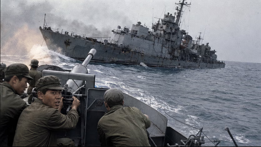
| Engagement | Time | Key Points | Related Article |
|---|---|---|---|
| Battle of the Paracel Islands | 1974.1.19–20 | Close-range fleet combat at Yongle Atoll; the *Nhat Tao* sank. The next day, Ganquan, Shanhu, and Jinyin islands were recovered, completing full control of the Paracels | *Battle of the Paracel Islands* |
| (fourteen-year interval) | 1975–87 | After Vietnam's unification, it received and expanded its reef occupations in the Spratlys; in 1987 the Chinese side received the task for Observation Station No. 74 and entered the Spratlys | — |
| Johnson South Reef Skirmish | 1988.3.14 | Shots were fired in the reef standoff, naval guns engaged for several dozen minutes, Vietnamese ships 604 and 605 sank, and ship 505 was heavily damaged and grounded; the Chinese side entered six reefs that year | *Johnson South Reef Skirmish* |
Casualties and Losses
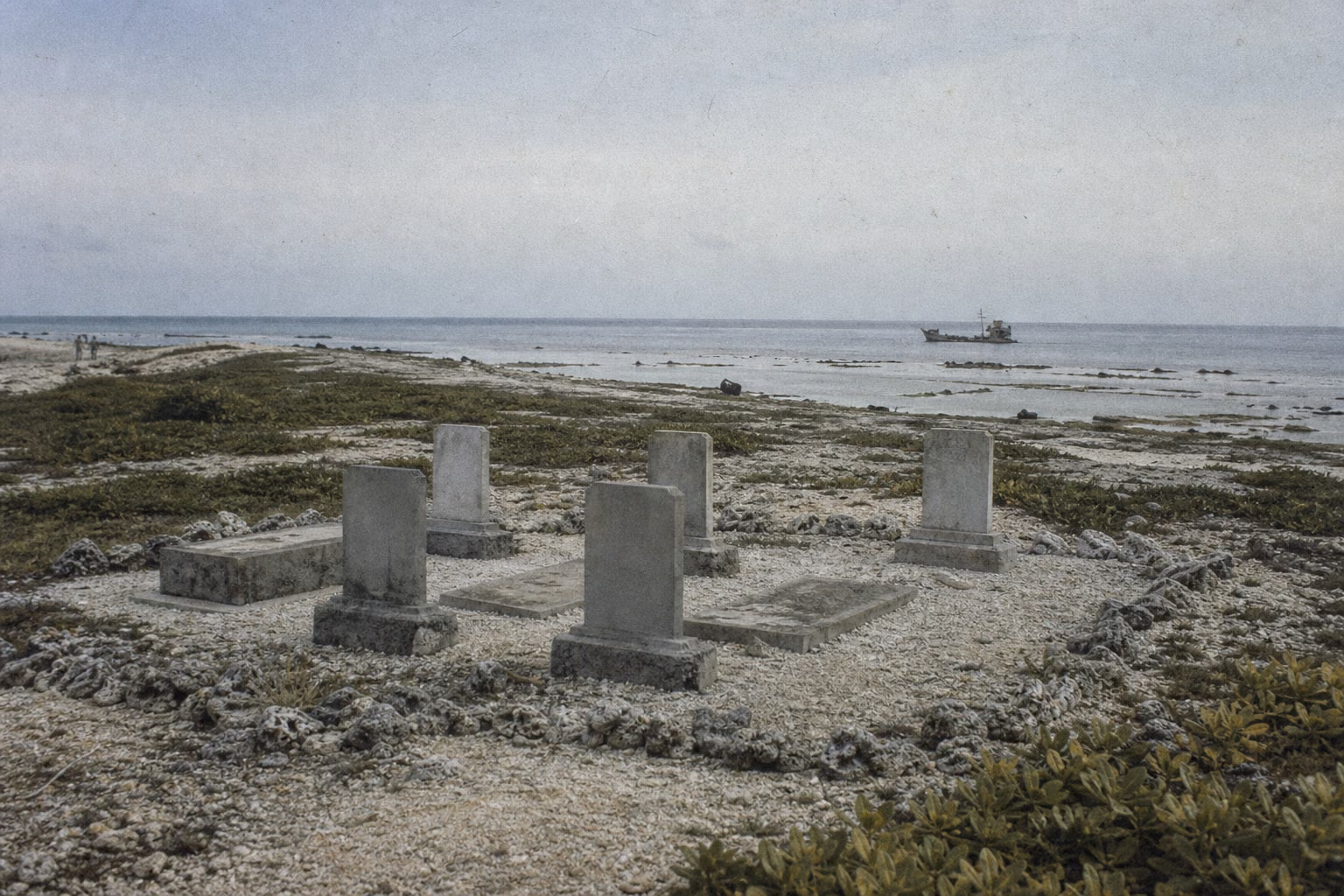
- 1974: the Chinese side had 18 killed and 67 wounded (Chinese figures); ship 389 was heavily damaged, beached, and later repaired. The South Vietnamese *Nhat Tao* sank and three other ships were damaged; Vietnamese figures give 74 killed (unverified), and 48 captured (one account says 49, including a U.S. liaison officer, unverified).
- 1988: on the Vietnamese side, two vessels sank and one ship was heavily damaged; Vietnam announced 64 killed (martyrs) and 9 captured (repatriated in 1991, year unverified). On the Chinese side, 1 person was wounded (Yang Zhiliang, struck in the arm).
- Fishermen: before the 1974 battle, Chinese fishing vessels were driven off and rammed, and island militia suffered casualties in clashes on the reef flats (details unrecorded); neither engagement involved civilian residential areas.
Aftermath
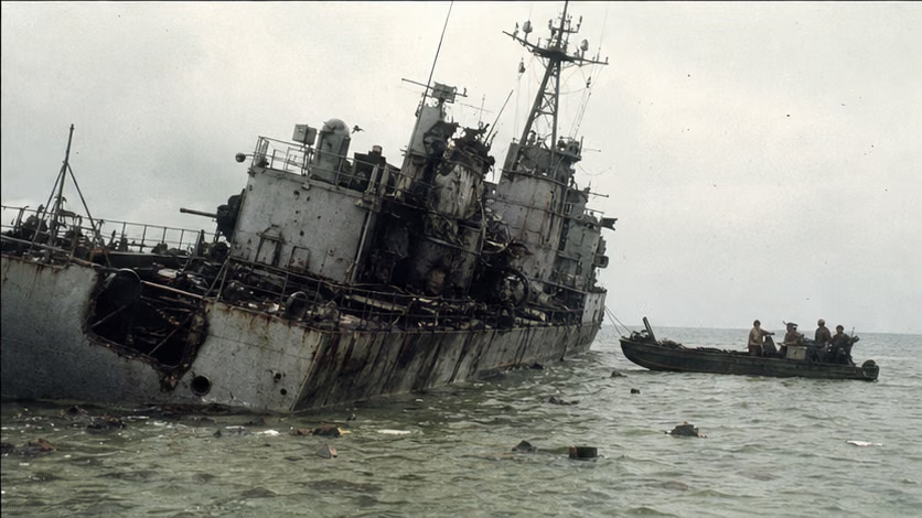
- From 1974 onward, the Paracels were entirely under Chinese control; the Yongle islands were fortified, and a martyrs' cemetery was built on Chenhang Island.
- South Vietnam threatened to retake the Paracels and assembled ships but did not sail (unverified); one year later, that regime no longer existed -- in April 1975, before Saigon fell, the North Vietnamese navy moved first to receive six islands in the Spratlys, beginning Vietnam's reef occupations there.
- In August 1988, Ocean Observation Station No. 74 at Yongshu Reef was completed (dates vary by account). That year, the Chinese side entered and held six reefs -- Yongshu, Huayang, Dongmen, Nanxun, Zhubi, and Chigua (sequence unverified) -- while the Vietnamese side also expanded its occupation by more than ten reefs that same year (bases vary by account). From then on, the Spratlys became an interlocking pattern of claims and positions.
- Three years later, China-Vietnam relations normalized, and there was no further exchange of fire at sea. The South China Sea after 1988 belongs to another era's story; this article stops here.
How Each Side Records It
- Chinese side: the Paracel battle was treated prominently -- the formulation "the People's Navy's first victory in an external naval battle" (source unverified), the 1976 film *Storm over the South China Sea*, and the annual commemorations at the martyrs' cemetery on Chenhang Island. The Chigua Reef battle long remained low-key, especially after China and Vietnam normalized relations in 1991; commemorative reporting became more frequent after the 2010s, making the rise and fall of commemorative temperature plainly visible.
- Vietnamese side: the Paracels -- post-unification Vietnam marks January 19 as the day of commemoration for "Hoang Sa" and posthumously honors the South Vietnamese captain killed that year (a unified regime commemorating a soldier from an old enemy camp is a rare turn in its memory history). Chigua Reef -- the Vietnamese side calls it "Gac Ma"; every March 14 it commemorates the 64 dead, and the "immortal circle" is the core image of the narrative. In 2017, a memorial park was completed in Khanh Hoa Province (details unrecorded).
- Taiwan side: in 1974, Taipei also issued a statement reaffirming sovereignty over the South China Sea islands (wording and target unverified) -- a moment when the two sides of the strait shared a common source for their claims. The legend that Taiwan "let pass" the East Sea Fleet's transit through the Taiwan Strait has circulated to this day (for evidentiary level, see the disputes section).
- U.S. side: it intervened in neither engagement. In 1974, the captured U.S. national was quietly released (identity and course of events unverified).
Disputes and Sensitivities
- Both engagements have disputes over "who fired first," with both sides' accounts existing side by side.
- Casualty and prisoner figures differ greatly across the parties' statistical bases.
- Pham Van Dong's 1958 note is a central citation point in today's South China Sea arguments; the existence of the document and the exchanges at the time are the historical facts involved in this section.
- Passage through the Taiwan Strait and the claim that "Taiwan did not block it": this account is widely circulated, but the historical evidence is disputed -- the circulation layer and evidentiary layer are marked separately, unverified.
- The Soviet Union's motives for not aiding Vietnam in 1988, and South Vietnam's domestic-political motives for provoking the 1974 clash, both belong to the interpretive layer and are marked rather than asserted.
- Present red line: South China Sea claims are a matter of present-day politics; all content in this article stops at the historical facts of the time.
Contents
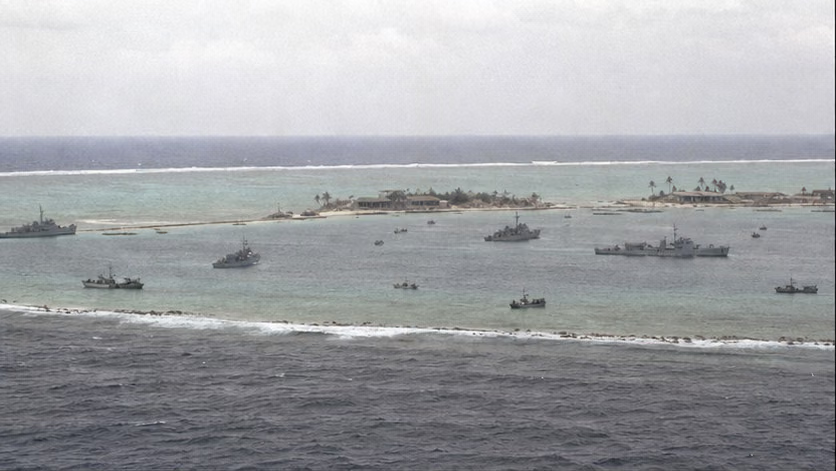 Battle of the Paracel Islands1974.01Four submarine chasers and minesweepers, totaling 1,700 tons, held their ground in the reef-flat channels of Yongle Atoll against four U.S.-built South Vietnamese warships totaling 6,000 tons, sinking one and damaging three, then recovered three islands the next day -- the People's Navy's first external naval battle (framing varies by account), and the two days when all of the Paracels came under Chinese control.
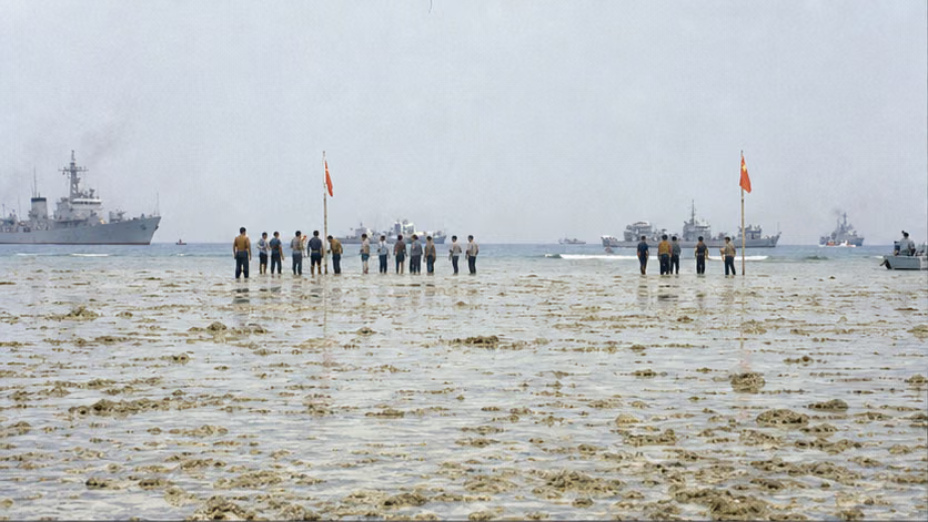 Johnson South Reef Skirmish1988.03For the protective cordon around an ocean observation station, Chinese and Vietnamese soldiers waded into knee-deep water on an ebb-tide reef flat and faced one another down; after the first shot came several dozen minutes of naval-gun action -- two Vietnamese vessels sank, one ship ran aground, and China from then on had a foothold in the Spratlys; Vietnam from then on commemorated every March 14 the 64 people of "Gac Ma."
Sources and Open Questions
Sources: *The Contemporary Chinese Navy* (Contemporary China series) and other naval war histories; memoirs by participating commanders, officers, and sailors (Wei Mingsen, Chen Weiwen, and others; itemized titles unverified); postwar memoirs by South Vietnamese participating officers (translated names unverified); Vietnamese "Gac Ma" commemorative literature; U.S. declassified diplomatic cables (1974 related); Taiwan-side archives (1974 statement and Taiwan Strait transit related); studies of the *Genglubu*.
Open questions: details of the divided receiving routes in 1946; archival source for the 1953 adjustment of the dashed line; course of the 1959 Yongle fishermen incident; archival source for the U.S. refusal of aid; all parties' various casualty and prisoner figures for the two engagements; identity of the U.S. liaison officer; historical evidence for the Taiwan Strait transit; sequence of Chinese entry into the six reefs in 1988 and the number of reefs newly occupied by Vietnam; session number for the Station No. 74 meeting and its completion date; details of Li Zhun's sea inspection; details of the Vietnamese memorial park.
All images on this site are AI-generated depictions. They are not historical photographs, not primary sources, and do not depict any real individual.