Engagement Archive · Battles of Xishankou and Walong
The second battle after the ceasefire proposal was refused was over in five days: in the Walong direction, the Indian Eleventh Brigade collapsed first; along the Xishankou–Bomdila line, the Indian Fourth Division, a formation that had made its name in North Africa, disintegrated as an organized command within three days; on November 21, with its spearheads already in sight of the Assam plains, the Chinese government announced a ceasefire across the entire front and a voluntary withdrawal.
Engagement Data
| Item | Content |
|---|---|
| Time | 1962.11.14 Indian forces attacked first at Walong; 11.16 Chinese counterattack – 11.21 ceasefire statement (effective at midnight on 11.22) |
| Place | Eastern end of the eastern sector: Walong (toward Zayu, in the Lohit River valley); western end of the eastern sector: the Xishankou–Shenggezong–Dirang Dzong–Bomdila line and areas south of it; western sector: Pangongluo area |
| Belongs to | Sino-Indian War · second phase |
| Belligerents | Chinese side: Tibet Military Region forward command (Zhang Guohua) commanded the Zangzi 419 Force, the 11th Division, the 55th Division, and other units in the Xishankou direction; the Chamdo sub-forward command ("Ding Command," Ding Sheng) commanded the 130th Division in the Walong direction; Xinjiang Military Region Kangxiwar command post attacked Pangongluo (order-of-battle details unclear) / Indian Army: Fourth Corps (Lieutenant General Kaul) -- in the Xishankou direction, the Fourth Division (Major General Pathania, commanding the 62nd, 65th, and 48th Brigades); in the Walong direction, the Eleventh Brigade; in the western sector, part of the 114th Brigade (subordination unclear) |
| Result | The Indian Fourth Division and Eleventh Brigade were routed; Chinese forward elements approached the traditional customary line; on 11.21 China unilaterally ceased fire and then withdrew across the entire front |
Belligerents
| Item | Chinese side | Indian Army |
|---|---|---|
| Strength | Across the two eastern-sector directions, a combined force of roughly two or three divisional-level groupings (figures vary by statistical basis) | About 1.2 x 10^4 (about 12,000) in the Xishankou–Bomdila direction, several thousand in the Walong direction, and outpost groups in the western sector (figures vary by account) |
| Deployment | Concentrated forces, multiple enveloping routes, infiltration by footpaths, cutting roads and encircling | Strung in depth for a hundred kilometers along a single road -- Liu Bocheng summarized its shape as "copper head, tin tail, tight back, loose belly" (Chinese military-history formulation) |
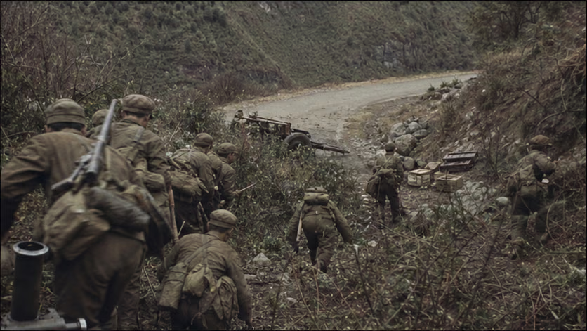
| Firepower | Still no heavy artillery: mountain guns, recoilless rifles, and mortars accompanying the advance; light forces in rapid movement | Brigade artillery deployed along the road; U.S. and British military aid had only just begun to arrive and had not yet formed organized combat power (unverified) |
| Supply | Relay porterage by people and pack animals over the passes; assault units carried several days of food and ammunition (unverified) | Road dependence: once the main supply line was cut, all brigades along the line lost their rear at the same time |
Terrain and Conditions
(For the larger setting and the general discussion of "why victory was followed by withdrawal," see *Sino-Indian War · Overview*; here the focus is only on these two valleys.)
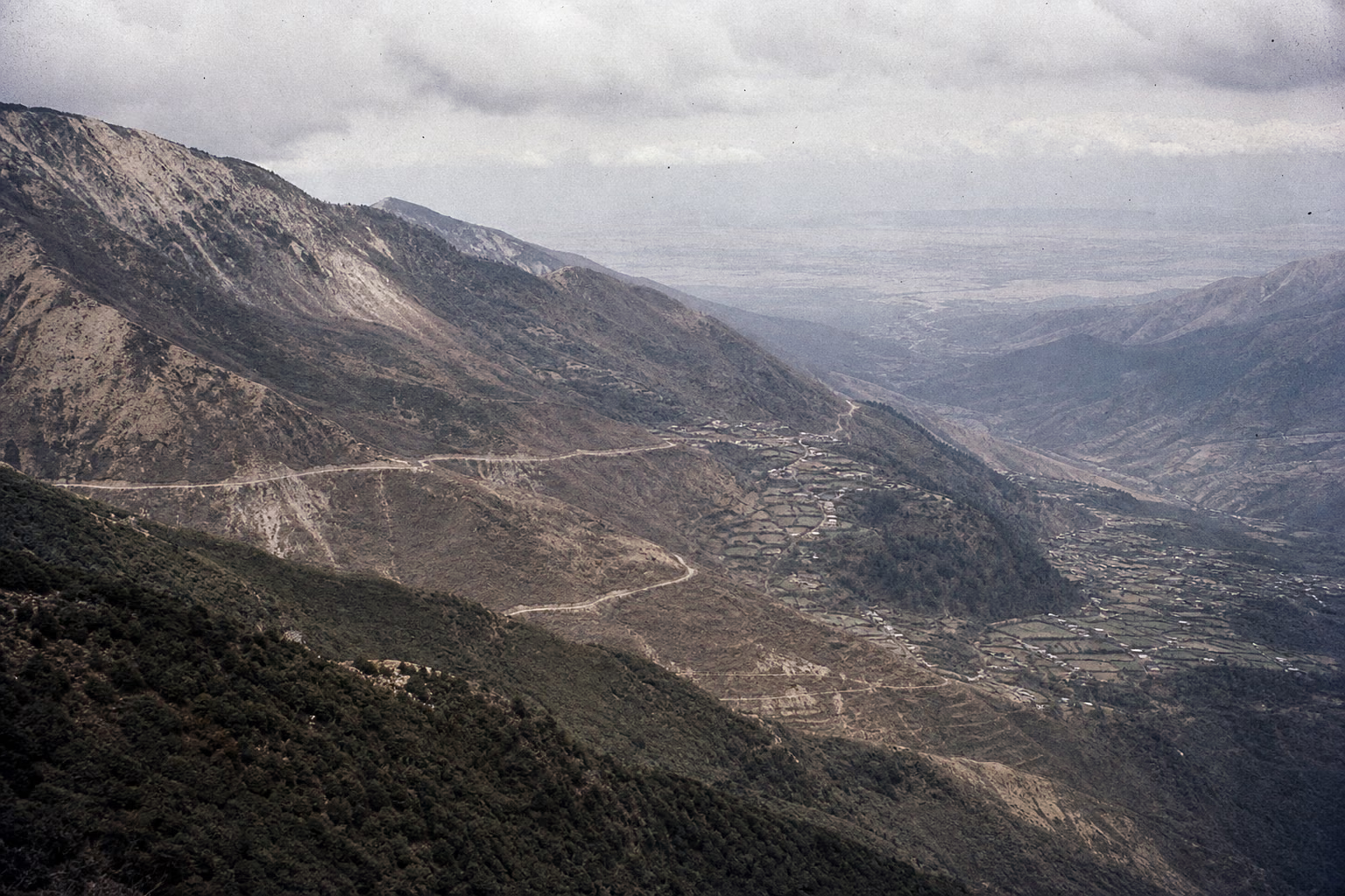
- Xishankou (called Se La by the Indian side) stands at more than 4,200 meters above sea level (unverified), a natural strongpoint between the Tawang valley and the Dirang Dzong basin, which the Indian Army developed into an "impassable" defensive hub; south of Bomdila, the mountains drop sharply into the Assam plains -- once past Bomdila, the river valleys of India's grain country lay directly ahead.
- Walong lies at the far eastern end of the eastern sector, in the Lohit River valley, whose valley floor is only a little over one thousand meters above sea level; it is subtropical jungle mountain country and is not sealed by snow in November -- the only direction in the eastern sector where sustained winter operations were possible (unverified).
- The Bailey Trail: a hidden mountain path surveyed in 1913 by the British officer Bailey, running from the north straight into the area between Dirang Dzong and Bomdila; the Indian Army knew it existed but did not defend it (Maxwell's account, unverified).
- Monpa- and Lhoba-inhabited mountains, with scattered villages; towns and villages were denser along the Dirang Dzong and Bomdila line.
Why It Was Fought
After the fighting at Kejielang ended, the Chinese government put the terms for stopping the war on the table (see *Battles of Kejielang and Tawang*): the three proposals of October 24 -- stop the conflict, reopen negotiations, and have both sides withdraw twenty kilometers. New Delhi's answer was a precondition: Chinese troops had first to withdraw to the positions they had held before September 8, treating the battle China had won as if it had never happened. The door to talks closed, and both sides moved troops up into the mountains.
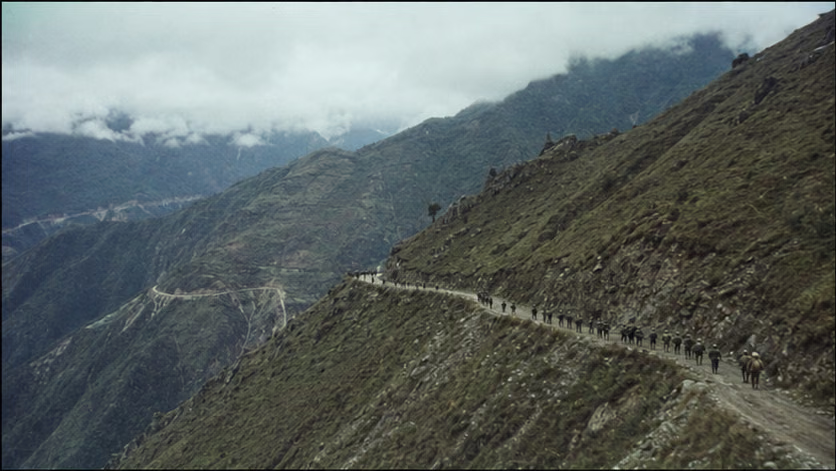
India used three weeks to turn a border clash into a war of national policy: a national emergency, U.S. and British arms flown in day and night, and parliament unanimously demanding the recovery of lost ground. The Fourth Division fell back to the natural barrier at Xishankou. Its new commander, Pathania, placed the 62nd Brigade on the pass, set divisional headquarters at Dirang Dzong, and had the 48th Brigade defend Bomdila -- three brigades strung along a hundred kilometers of road. The calculation was to hold on behind the barrier until heavy snow closed the mountains, and settle matters the following year. Across from them, this long snake had been read through completely. Liu Bocheng's summary was "copper head, tin tail, tight back, loose belly": the frontal pass was copper, the rear tail was tin, the back pressed against the road was tight, and the belly on both sides of the road was loose. The plan followed from that: do not gnaw at the copper head; take footpaths into the belly, cut the tail first, then encircle. The main force of the 11th Division moved silently along the Bailey Trail, five days and nights through mountain paths, straight into the space between Dirang Dzong and Bomdila (details of the march unclear). The Indian misjudgment remained the old one: assuming the snow line and supply would block the opponent for them, and that infiltrating troops could not carry guns across those passes (a line in Indian postwar reviews, unverified).
In the Walong direction, the timetable was set by the Indian Army itself: November 14, Nehru's birthday. The Eleventh Brigade was ordered to attack the Chinese positions opposite it and take a hilltop as a birthday offering (an account in Indian military histories and memoirs, unverified) -- the offensive stalled that same day. Ding Command shifted the 130th Division to a counterattack at dawn on the 16th. Around the same day, the enveloping forces in the Xishankou direction arrived in position one after another.
Strictly speaking, this battle could have stopped at the negotiating table: the three proposals had been on the table for three weeks, and the withdrawal lines and meeting place were stated plainly. But for Nehru, acceptance meant admitting defeat -- the nationalist fire at home was one he had lit himself, and by then it had burned away any path of retreat (context of Nehru's November parliamentary replies, unverified). On November 14 the first shots came at Walong; on the night of the 17th, the gunfire behind Xishankou followed.
Course of the Engagement
| Phase | Time | Key Points |
|---|---|---|
| Enveloping approach | 11.10–16 | Main force of the 11th Division advanced covertly for five days and nights along the Bailey Trail; infiltrating units moved separately toward the flanks and rear of Shenggezong, Luemadong, and Dirang Dzong (routes unverified) |
| Walong counterattack | 11.14–16 | Indian forces attacked first on the 14th and were checked; at dawn on the 16th, the 130th Division launched its general assault, Walong changed hands that afternoon, and remnants of the Indian Eleventh Brigade scattered into the mountains and forests; pursuit reached a line south of Walong near the traditional customary line (terminal place-name unverified) |
| Cutting the tail and encirclement | 11.17–18 | Enveloping forces cut the Xishankou–Dirang Dzong–Bomdila road in multiple places; the 62nd Brigade abandoned Xishankou at night, and the Fourth Division headquarters abandoned Dirang Dzong -- the "tin tail" snapped first, and the "copper head" collapsed by itself |
| Pursuit and destruction | 11.18–19 | Bomdila fell on the 18th (time unverified); large-scale interceptions and captures unfolded between the road and the mountains, and the Fourth Division lost its organization |
| Forward movement and ceasefire | 11.19–21 | Forward elements reached the Chaku and Yingke Pass line (translations unverified), approached the traditional customary line, and could already look down over the Assam plains; on 11.21 the Chinese government announced a ceasefire across the entire front and a voluntary withdrawal |
| Western sector at the same time | 11.18–20 | Xinjiang forces cleared Indian strongpoints in the Pangongluo area; the Battle of Rezang La was in this section -- nearly an entire Indian company was killed in action (see "Accounts of Those Present") |
Casualties and Losses
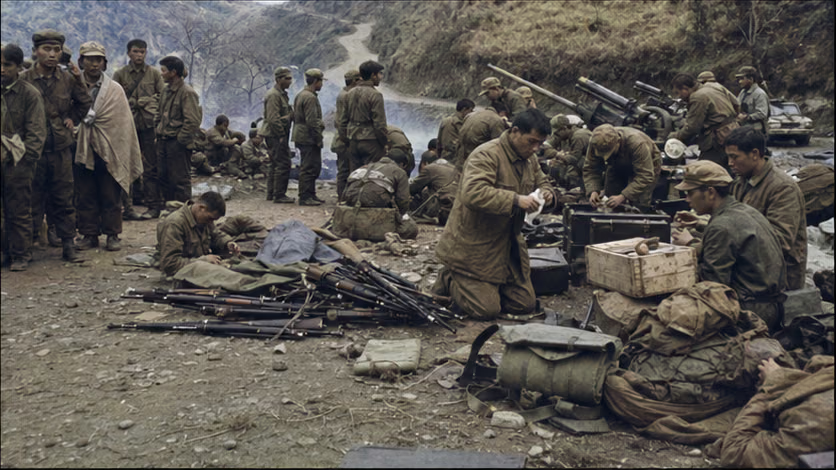
- Indian Army: about 5,200 eliminated in the Xishankou–Bomdila direction and about 1,200 in the Walong direction (both Chinese-side figures, unverified); the Fourth Division disintegrated as an organized formation; Brigadier Hoshiyar Singh, commander of the 62nd Brigade, was killed on 11.27 during withdrawal after the ceasefire (the two countries' records differ).
- Chinese side: casualty figures for this phase remain unverified (for the whole war, 722 killed and 1,697 wounded; see the overview).
- Civilians: there are few records of civilian casualties in the mountain war zone (unverified); the fighting did not reach the plains, but panic arrived first -- see the next section on the evacuation of Tezpur.
Aftermath
- Ceasefire at midnight on 11.22; withdrawal began on 12.1, and by March 1963 forces had withdrawn to within 20 kilometers of China's own side of the 1959.11.7 line of actual control, with civil-administration checkpoints established; captured weapons and equipment were wiped clean, registered, and returned to the Indian side, and more than 3,900 prisoners of war were all released by 1963.5 (Chinese records, unverified) -- "the victor withdrew first and returned the captures" became the most discussed part of this war.
- Several explanations for "why victory was followed by withdrawal" stand side by side: logistics limits, political objectives already achieved, winter closure of the mountains, and others (see the overview's dispute section).
- India: the Fourth Division was rebuilt; a large expansion of mountain divisions began; the Henderson Brooks-Bhagat inquiry followed at once (written in 1963 and still classified); Nehru's political life entered its final stage, and he died in 1964.5.
- The eastern sector then remained relatively quiet for more than a decade (the 1967 Nathu La and Cho La clashes belong to later history); the pattern of actual control on both sides of the line and the civil-administration checkpoint system continued.
- The chain of this war closes here; the next stop along the line of fire is in the Indochinese peninsula (see the *War to Aid Vietnam and Resist America* line).
Accounts of Those Present
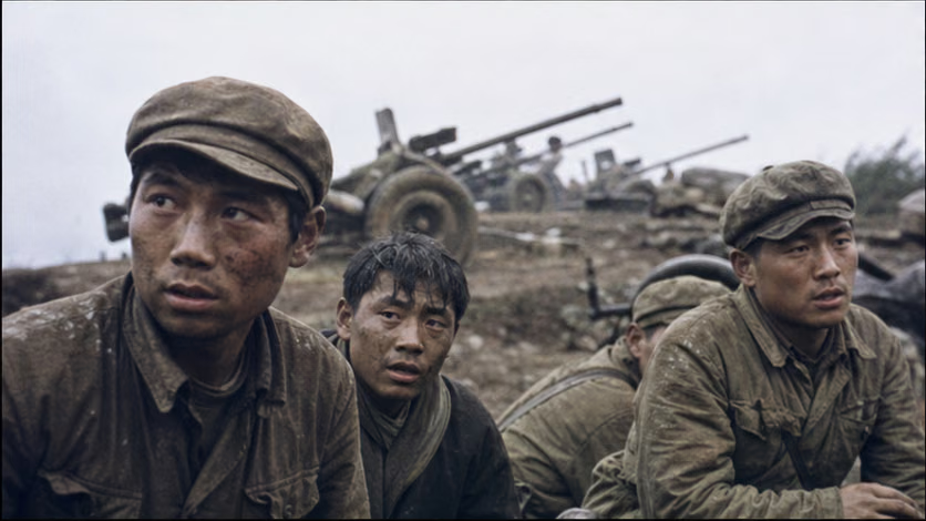
- Pang Guoxing's three-man combat group: Pang Guoxing, deputy squad leader of Company 9, 163rd Regiment, 55th Division, became separated from his unit during the Xishankou infiltration. With Wang Shijun and Zhou Wenxuan he formed a temporary group (Ran Fulin later joined; the personnel count varies by account), penetrated 7.5 kilometers alone into the enemy depth, fought five actions, overran two artillery positions, and captured seven guns (details unclear). In the postwar summary he wrote the sentence that entered army history: "Not only did the enemy refuse to surrender, they even dared to fire back at us." The Ministry of National Defense awarded him the title of combat hero (full title unverified).
- Five days and nights on the Bailey Trail: each man carried several dozen jin, crossed several passes above 4,000 meters in succession, and losses from frostbite and falls from cliffs occurred throughout (this figure is doubtful) -- half the outcome had already been decided underfoot before the shooting began.
- One night in Tezpur: when news that Bomdila had fallen reached the plains, banks in Tezpur burned their cash reserves, prisons released inmates, and ferries filled with people fleeing south; Nehru's 11.20 broadcast, "my heart goes out to the people of Assam," sounded to many listeners like a farewell (Indian records; details unverified).
- A company at Rezang La: in the western sector at Pangongluo, more than a hundred men of C Company, 13th Battalion, Kumaon Regiment fought at a 5,000-meter position until almost all were killed; company commander Shaitan Singh was posthumously awarded India's highest gallantry decoration (details unverified) -- India gave its heaviest remembrance to this position. The opponent's steadfast defense was also part of this campaign.
- The last name on the ceasefire line: Brigadier Hoshiyar Singh, who abandoned Xishankou, died on the mountain withdrawal route six days after the ceasefire took effect (11.27; two accounts of the circumstances, unverified) -- one of the last dead of a short war.
The Ground
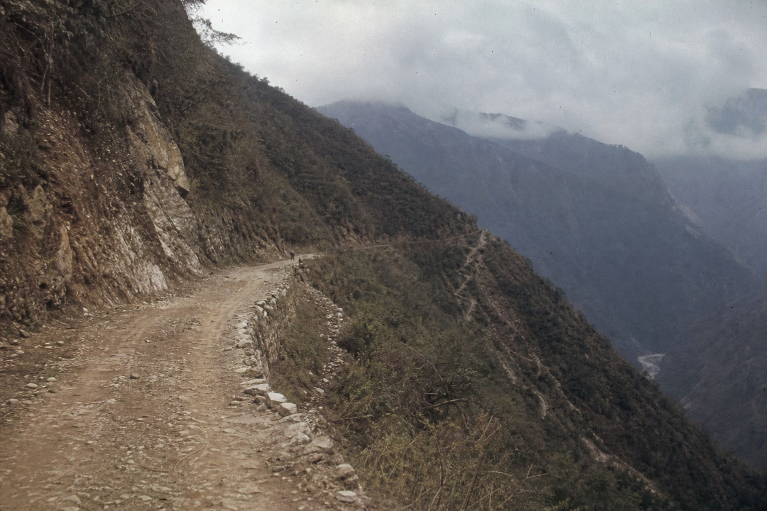
- Three knots on one rope: a hundred kilometers of road strung together three brigades, and the points of decision all lay at several cut-off passes -- on the map it was a defensive zone; in reality it was a rope.
- Footpath against road: the maneuver logic of hidden footpaths against the supply logic of a road; once infiltration succeeded, the road became a cage -- a collision of two spatial grammars.
- A four-thousand-meter drop: from Xishankou at 4,400 meters to the Assam plains at a little over one hundred meters, the front line dropped four thousand vertical meters in five days -- a spatial narrative of plateau war "descending the mountain," warmer and greener with each fight.
- Walong's reverse face: a thousand-meter river-valley jungle, visibility counted in tens of meters, combat broken into squad encounters -- the reverse lesson to the wide, sweeping operations in the Xishankou direction.
- Arrival as departure: the furthest point reached by the spearhead was also the starting point for withdrawal -- the spatial paradox of a ceasefire line as a finish line, rare in the whole series.
How Each Side Records It
- Indian side: the collapse at Se La–Bomdila is the most painful point of "1962" (the destruction of the Seventh Brigade was shock; the disintegration of the Fourth Division was despair); the resistance at Walong and Rezang La is selected as a pillar of remembrance, and the narrative of "fighting to the last bullet" is retold every November in the Indian media's regular "1962 reflections."
- Chinese side: Xishankou–Bomdila entered teaching materials as a classic case of deep enveloping infiltration; Pang Guoxing's comment on the battle has circulated in the army down to the present; the official narrative of ceasefire and withdrawal is political initiative and the "army of benevolence and righteousness."
- A coincidence of wording: for the same collapse, Chinese military history writes "pursuit and destruction," while Indian military history writes "rout" -- unusually, the two are not contradictory.
Disputes and Sensitivities
- Several explanations for the ceasefire and withdrawal coexist (see the overview for details); India also has an account that "China withdrew only because it feared U.S. intervention," opposed to the Chinese narrative.
- Chinese-side battle-result figures and Indian-side loss figures differ greatly; cite the side from which the figures come.
- The circumstances of Hoshiyar Singh's death after the ceasefire differ in the two countries' records (unverified) -- a sensitive point involving ceasefire implementation, so it is listed without being broken off.
- The relationship between the pursuit endpoint and the traditional customary line is sensitive, and the spearhead's position at the time remains unverified.
- The Indian Army's "birthday offensive" account comes from Indian military histories and memoirs; Chinese military histories have another chronological formulation (unverified) -- place them side by side.
Sources and Open Questions
Sources: *History of the Self-Defensive Counterattack on the China-India Border* (Military Science Press, 1994); Maxwell, *India's China War*; India's official military history (1992 internal edition, unverified); memoirs of participating commanders including Dong Zhanlin and Yin Fatang (titles unverified); Pang Guoxing battle-review materials (military-history documents, source unverified).
Open questions: order of battle and strength in the two directions; Bailey Trail march distance and losses; terminal place-name of the Walong pursuit; time when Bomdila fell; translations of Chaku and Yingke Pass; personnel count, captured-equipment details, and full honorific title of the Pang Guoxing group; records from both sides on the Battle of Rezang La; circumstances of Hoshiyar Singh's death; records of the Tezpur panic; the two countries' accounts of the "birthday offensive"; Xishankou elevation data; extent of U.S. and British military-aid arrivals; Chinese casualty figures for this phase; detailed losses for each Indian brigade.
All images on this site are AI-generated depictions. They are not historical photographs, not primary sources, and do not depict any real individual.