Engagement Archive · Battles of Fakashan and Koulinshan
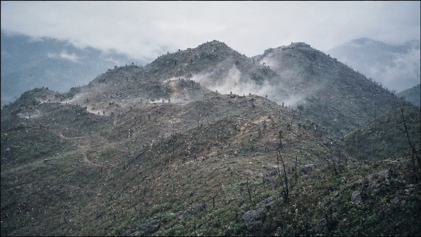
Points straddling the boundary line that Vietnamese troops occupied after the 1979 withdrawal were taken back one by one beginning in May 1981: on the 5th, Guangxi border-defense units recovered Fakashan; on the 7th, the Yunnan-based 14th Army recovered Koulinshan. Seizing the points took from several dozen minutes to several hours; holding them lasted for years.
Engagement Data
| Item | Content |
|---|---|
| Time | 1981.5.5 Battle of Fakashan; 1981.5.7 Battle of Koulinshan; afterward both points entered long-term defense (larger-scale counterattacks in the Fakashan direction continued into June of that year, unverified) |
| Place | Fakashan: a point straddling the boundary southeast of Pingxiang, Guangxi (administrative-village boundary wording unverified); Koulinshan: a point straddling the boundary in Malipo County, Yunnan (township-boundary wording unverified) |
| Belonging | Sino-Vietnamese War · phase of fighting over points straddling the border (an intermediate link between Luojiaping Dashan in 1980, the two points in 1981, and the 1984 rotating campaigns of the Two Mountains; for the broader situation, see *Sino-Vietnamese War · Overview*) |
| Chinese Side | Fakashan: Guangxi Military District border-defense units (division and regiment designations unrecorded); Koulinshan: 126th Regiment, 42nd Division, 14th Army, Kunming Military Region (with attached artillery group) |
| Vietnamese Side | Front-line defense detachments, local forces, and artillery; infantry reinforcements during the counterattack phase (designations unrecorded) |
| Result | Both points were recovered and held against repeated counterattacks, then entered long-term defense |
Belligerents
(Point-seizure operations, at battalion-to-regiment scale; attack and defense changed places in different phases, so the table lists camps rather than attacker and defender.)
| Item | Chinese Side | Vietnamese Side |
|---|---|---|
| Troops | Main assault force at each point was battalion-to-regiment scale, supported by an artillery group (details unrecorded) | Point-defense detachments at company-to-platoon scale, with battalion-to-regiment scale forces committed to counterattacks (unverified) |
| Firepower | Army- and division-level artillery was the main actor -- suppression before point seizure, artillery duels during the defense period | Artillery in depth kept up harassment; counterattacks had artillery preparation |
| Fortifications | Defense works rebuilt after the points were taken: trenches and troop caves | Strongpoints had been built successively by Vietnamese troops after 1979 (time of occupation unverified) |
Terrain and Conditions
(For the broader situation, see *Sino-Vietnamese War · Overview*.)
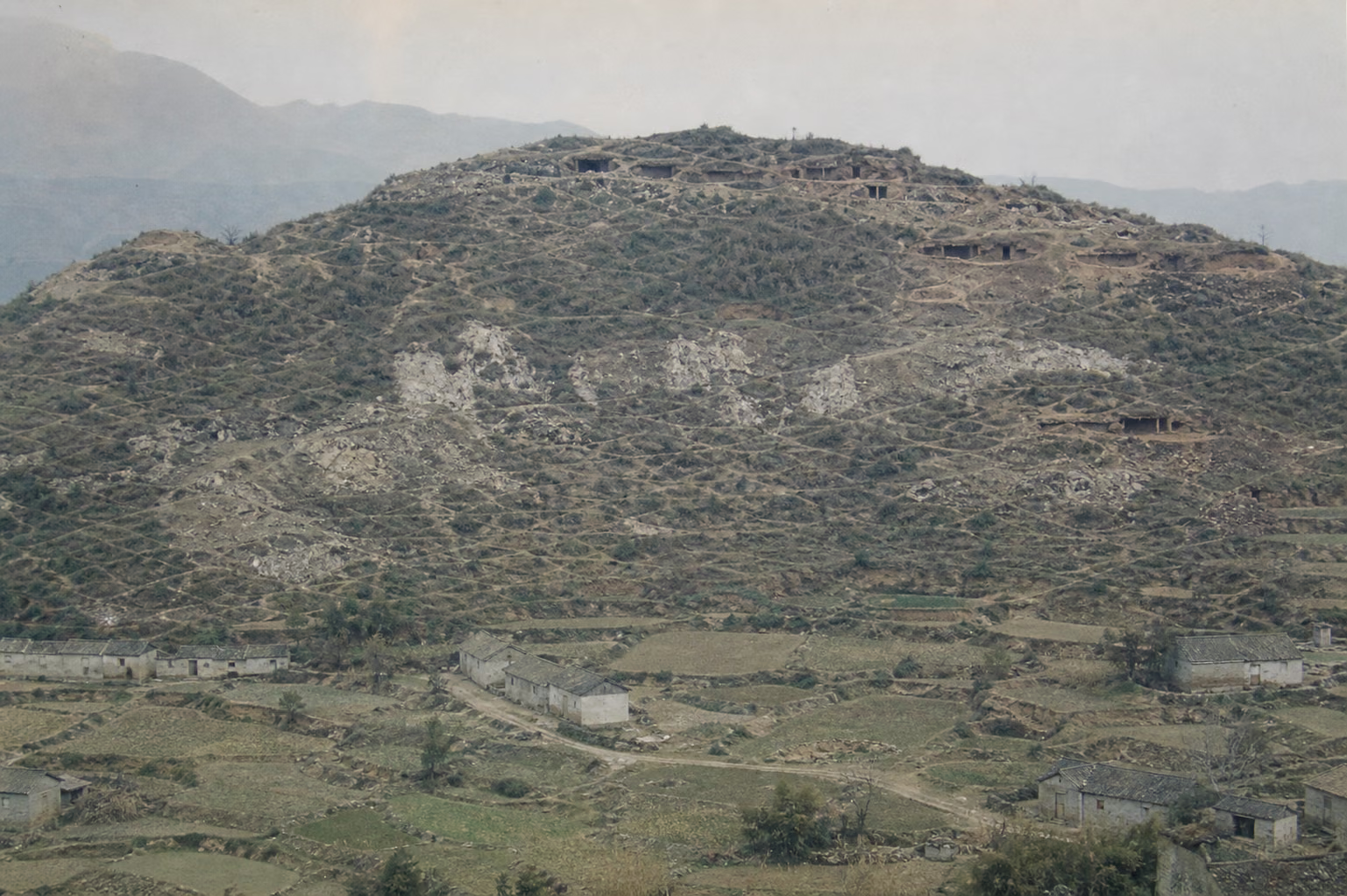
The China-Vietnam land boundary was surveyed under the late-Qing Sino-French boundary agreements. Boundary markers were sparse, and the maps and texts were rough, leaving many points along the ridge lines that both sides could claim as straddling the boundary (counts vary by account). After the Chinese withdrawal in March 1979, most of these points had no permanent garrison; in 1979–80, Vietnamese troops successively occupied key points including Fakashan, Koulinshan, and Luojiaping Dashan and built positions there (timing for each point unverified), using them as artillery observation posts while fighting and improving the works. The towns and villages opposite them in Pingxiang, Guangxi and Malipo, Yunnan were therefore kept for years under direct-fire weapons and shelling: border residents were killed or wounded, fields were abandoned, and schools withdrew rearward (local-gazetteer record, figure disputed)※. In October 1980, Yunnan border-defense units recovered Luojiaping Dashan (date and unit unrecorded), setting the precedent for taking back such points.
Why It Was Fought
The withdrawal was completed on March 16, 1979; the border remained quiet for less than one quarter (first major shelling incident unverified). *Counterattack in Self-Defense Against Vietnam* ends at "the war changed form" -- the new form was the point straddling the boundary: whoever stood on the ridge could see the roads, villages, and artillery positions on the other side. Fakashan overlooked the border road and port-of-entry route in the Pingxiang direction, while Koulinshan overlooked the valley toward Chuantou in Malipo (wording for the commanding relationship unverified). After the main armies pulled out, these points were empty, and Vietnamese troops came up by the company and by the platoon, digging trenches onto the Chinese side of the ridgeline.
For the next two years, the border's normal condition was sniping and shelling. The Chinese side recorded cumulative figures for border incidents and border-resident casualties over the years (unverified), while the Vietnamese side recorded the same kind of list in the opposite direction (unverified) -- each side had its own account of who began what, and this article lists them side by side. After Luojiaping Dashan was recovered in October 1980, there was a precedent for taking points back: do not let it develop into a campaign, and do not move beyond the points straddling the boundary -- take them, hold them, and make the artillery observation posts face the other way.
The stated reason for choosing May 1981 was a specific incident in which shelling opposite the line wounded border residents (incident and date vary by account); the larger background was that the main Vietnamese forces had just finished the dry-season campaign in Cambodia, while the northern line was defending in place rather than attacking. Fakashan was attacked at dawn on May 5, and Koulinshan on May 7 -- one point in the east and one in the west, taken by Guangxi and Yunnan within two days. Seizing the points took from several dozen minutes to several hours; for the months afterward, the fighting lay in the word "hold."
Course of the Engagement
| Phase | Time | Key Points |
|---|---|---|
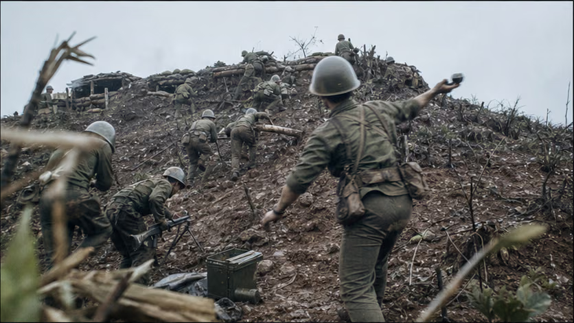
| Seizure of Fakashan | 5.5 | After artillery preparation, border-defense units attacked and recovered the main peak and the associated heights that morning (duration of fighting unverified) |
| Fakashan defense against counterattacks | 5.10–June | Vietnamese troops launched multiple counterattacks in succession at battalion-to-regiment scale (5.10, 5.16, 5.19, etc.; the number and dates vary by account), all of which were repulsed; artillery duels continued for several months, and the mountaintop works were repeatedly destroyed and rebuilt |
| Seizure of Koulinshan | 5.7 | The 126th Regiment, 42nd Division, 14th Army attacked and took the main-peak line and associated heights that day (details unrecorded) |
| Koulinshan clearing and defense | 5.7–that summer | Remaining firing points were cleared one by one, and after counterattacks were held off the position entered defense (period unverified) |
| Long-term defense | From 1981 | Both points were garrisoned by rotating defense detachments, facing Vietnamese positions opposite them -- the normal state of the border before the rotating campaigns of the Two Mountains |
Casualties and Losses
- Chinese side: no authoritative public total exists for casualties in the fighting over the two points and the defense period (unverified); battle reports claimed several hundred to more than one thousand Vietnamese killed or wounded (accounts vary).
- Vietnamese side: its own losses have not been systematically published (unverified).
- The weakness of the numbers is itself the source condition of this engagement: battalion-to-regiment scale border fighting in which both sides' figures exist only within their respective propaganda bases -- this article does not accept any single side's numbers.
- ※ Border residents: villages and towns opposite the points continued to be shelled before and after the point seizures; casualties and losses are recorded in local gazetteers (figure disputed).
Aftermath
- Taking the points did not end the shelling; it only pushed the observation posts back to the ridgeline -- the border confrontation settled into the form of "you hold your point, I hold mine, and artillery speaks across the mountains."
- Defense became long-term: the Fakashan defense detachment received the title "Fakashan Hero Battalion" (date of award and document number unverified); rotating defense, rainy-season tunnels, and confrontation within direct-fire range rehearsed all the subjects of the rotating campaigns of the Two Mountains three years later.
- Higher, more dangerous, and more commanding Laoshan and Zheyinshan still remained in Vietnamese hands -- the fighting of 1984 had already been placed on the schedule in 1981 (continues in *Battles of Laoshan and Zheyinshan (rotating campaigns of the Two Mountains)*).
Accounts of Those Present
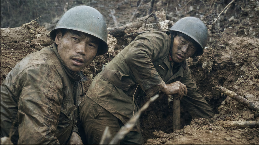
- Several dozen minutes and several years: point-seizure fighting was counted in minutes, defense in years -- in participants' recollections, the hardest part was not the assault, but afterward, between intervals of shelling, digging open collapsed fortifications again and again (memoir source unverified).
- The mountain cut lower: the artillery duels of the defense period were so intense that the saying spread that "the mountaintop was cut lower by shellfire" (specific figure disputed) -- vegetation was stripped away, and rock was ground to powder.
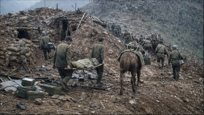
- Pack animals supporting the front: neither point had a road to the summit, so ammunition and supplies were carried by civilian laborers and pack animals along the reverse slopes (local-gazetteer record unverified) -- the "military labor" groups of the rotating campaigns of the Two Mountains already had their first shape here.
- Border residents returning to the fields: after the points were taken, abandoned fields below the mountains were farmed again -- beyond battle reports, local gazetteers recorded this fighting in mu (figure disputed).
The Ground
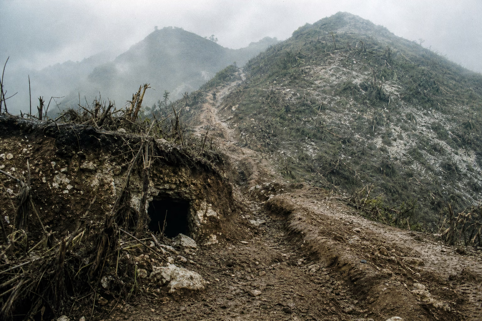
- The spatial prototype of a point straddling the boundary: a main peak, two or three associated heights, and a saddle, a few hundred meters across and lengthwise -- every element of attack and defense at a very small scale.
- The closest opposing positions were several dozen meters apart (unverified): the range of direct-fire weapons and hand grenades; shouting and broadcasts were part of daily life.
- The two-stage form of taking and holding a point: the attack used one dawn, the defense used several rainy seasons -- two ways of fighting on the same piece of ground.
- Reverse slopes: troop sheltering, evacuation to the rear, and resupply all unfolded on the side facing away from the enemy -- "life on the back side" under shelling.
How Each Side Records It
- Chinese side: recorded in histories of border-defense units, brief military-region war histories, and local gazetteers; the honor lineage of the "Fakashan Hero Battalion" entered military history (unverified); martyrs' cemeteries in Pingxiang, Malipo, and other places include those who died in this engagement (burial details unverified). The national-level narrative is extremely spare -- the thinness of the material comes partly from unopened archives and partly from its having been covered over by the narrative of the rotating campaigns of the Two Mountains.
- Vietnamese side: incorporated into the long-period narrative of the "war to defend the northern border" from 1979 to 1989; the Vietnamese basis describes such point seizures by China as "salami-slicing," and the two points are described on the Vietnamese side as occupied territory; their status was later delimited by the 1999 land-boundary treaty.
- The two sides' lists: each side preserved statistical tables of the "other side's provocative incidents" -- the same stretch of border, two completely opposite accounts; setting them side by side is the only honest way to record it.
Disputes and Sensitivities
- Status of the points straddling the boundary: the rough maps and texts of the late-Qing boundary agreements are the root of the dispute, and wording about status involves the 1999 treaty.
- "Who provoked first": the two sides' incident lists are completely opposed, with no third-party verification -- list them side by side, and do not accept either.
- Casualty figures: both sides have only propaganda bases -- list them as unverified, and do not cite them as conclusions.
- Characterization of the point-seizure operations: the Chinese basis says "recovered"; the Vietnamese basis says "attacked and occupied" -- the two terms are listed side by side.
Sources and Open Questions
Known major sources:
- Brief war histories and unit histories of the Guangxi Military District and Kunming Military Region (internal, listing retained but unverified)
- *Pingxiang Gazetteer*, *Ningming County Gazetteer*, and *Malipo County Gazetteer* (local-gazetteer records)
- Vietnamese commemorative literature on the "war to defend the northern border" (unverified)
- Xiaoming Zhang, *Deng Xiaoping's Long War* (with a dedicated discussion of the 1980–83 phase of fighting over points straddling the border)
Open questions: wording for Fakashan's administrative status and unit designations; timing of Vietnamese occupation of the points; duration and details of the fighting at the two points; number and dates of counterattacks; casualty bases for both sides; award document number for the "Fakashan Hero Battalion"; date and unit for Luojiaping Dashan; each basis for border-incident statistics; border-resident casualty figures; first major shelling incident; wording for the commanding relationship.
All images on this site are AI-generated depictions. They are not historical photographs, not primary sources, and do not depict any real individual.